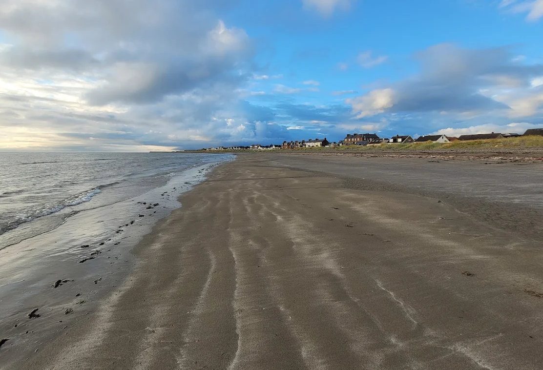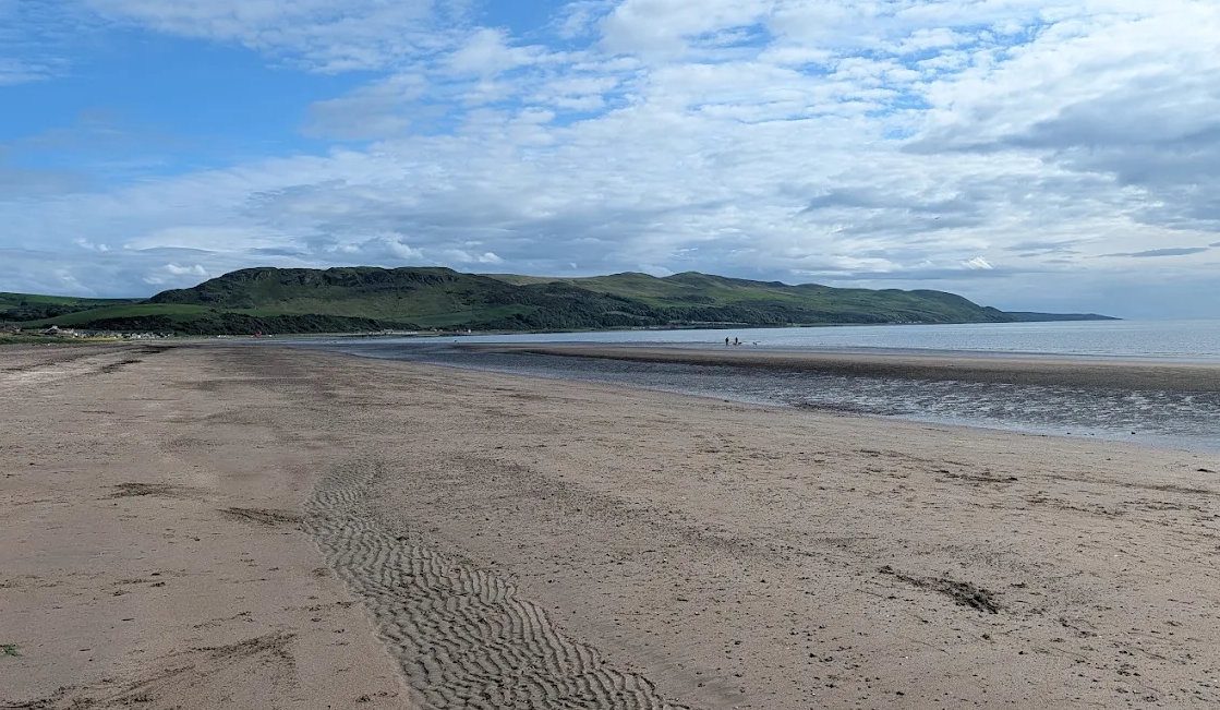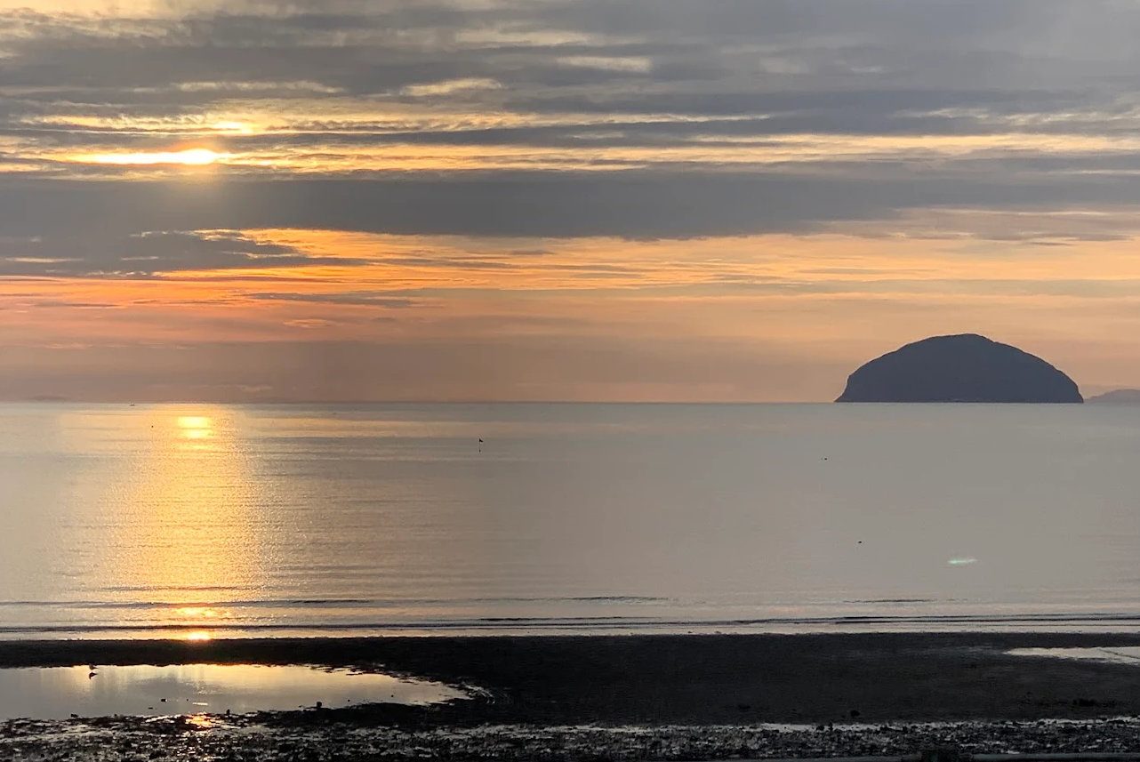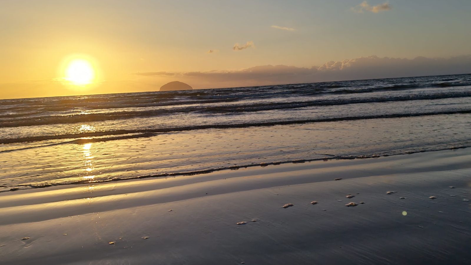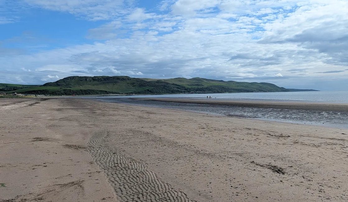
Byne Hill is the green dome that closes the view at the south end of Girvan beach, and it is the best short walk in the area by a comfortable margin. 214 metres, or 702 feet, at grid reference NX 178 945, about two and a quarter miles south-south-west of the town.
It is not a big hill. It is a small hill that happens to stand on its own at the edge of the sea, so it behaves like a much bigger one. On the hill databases it is classified only as a Tump, with 67 metres of drop, which tells you nothing useful about the view.
The one thing to know before you go
South Ayrshire Council does not publish a route to the summit. Its own words are that "due to landownership issues, we cannot promote a specific route to the summit of Byne Hill", while pointing out that general access rights under the Land Reform (Scotland) Act 2003 apply to routes leading up it.
That is an unusual thing for a council to say about a hill in its own walking leaflet, and it is worth passing on. In practice people walk it constantly, Walkhighlands publishes a route, and the Ramblers run it as a group walk. But there is no waymarking on the hill itself, no core path to the top that we could confirm, and at least one experienced local walking site reported in mid-2025 that some of the old approaches were probably no longer usable and that the way through was changing.
So: go under the access code, be considerate about it, expect to work out the line yourself, and do not assume a route described online is still the best one on the ground.
Where to start
There are four realistic options and they suit different people.
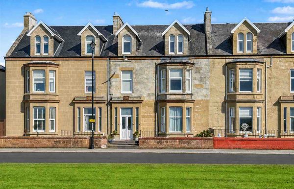
From Girvan seafront. The south end car park, grid ref NX 182 963, with toilets and a snack bar. This is the one to use if you are staying at the apartment, because you can walk out of the door. It adds a mile and a half or so of promenade and pavement at each end, following the Ayrshire Coastal Path south. Walkhighlands measures the round trip from here at 6.5 km / 4 miles with about 220 m of ascent, 2 to 2.5 hours.
Shallochpark, off the A77 just past the Shallochpark roundabout at the south end of town. This is South Ayrshire Council's own starting point for its Girvan trails, and there is a relatively new footway alongside the A77 down to the Myoch Bridge. It cuts out some of the town walking.
Shalloch Mill, a small car park on the A77 about two miles south of Girvan, grid ref NX 179 957. The shortest approach and the least road walking, but it is a small space on a trunk road.
Lendalfoot, if you want the full ridge. Start at the Varyag Memorial car park, KA26 0JG, and walk the whole Pinbain to Grey Hill to Byne Hill traverse back into Girvan — around 8.9 km / 5.5 miles, two and a half to three and a half hours, finishing at Ainslie car park.
The route in brief
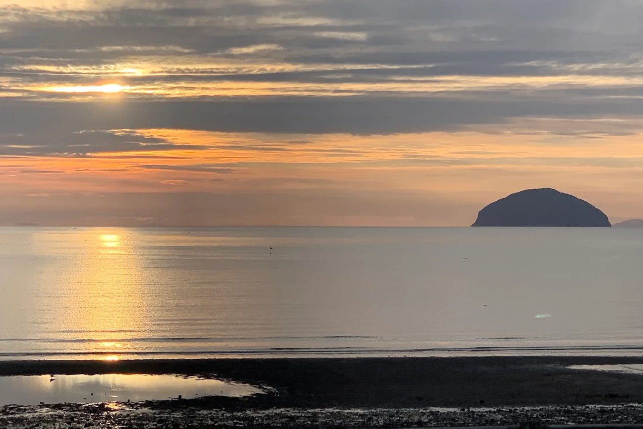
From the seafront, head south on the promenade following the coastal path, with Ailsa Craig out ahead of you. Before the Ainslie Manor nursing home a grassy path forks right past Horse Rocks, then rejoins the pavement.
Cross the road after the bridge over the Bynehill Burn and take the rough old track opposite, along the left edge of a field. There is a gate and a stile, then the track swings left and right and climbs with a fence on your right. Two more stiles beside gates as you gain height.
You pass an old quarry, and then the monument.
Before the track reaches the saddle, fork left across the grass to a wooden gate in the stone wall, which you will have to climb or slide rather than open, and then it is a steep pull to the summit over a dismantled wire fence. The true top is a rock outcrop a couple of metres south of the viewpoint.
Going down you have a choice. Retracing your ascent is the straightforward option and there is no shame in it. The alternative is to continue along the grassy ridge over a stile to a lower top and then descend the very steep north-east ridge, which has rocky sections and bracken lower down. That descent alone is what pushes the walk from moderate to something harder, and it needs care in the wet.
What is underfoot
Better than you would expect for a Scottish hill. Walkhighlands rates the bog at one reed out of five. It is pavement, then farm track, then short-cropped grass with scrambly outcrops of conglomerate.
The complications are not mud, they are furniture and livestock:
- Three or more stiles on the way up, plus a gate in a wall that has to be climbed.
- Barbed wire and drystone walls on some variants.
- Sheep, cattle with calves, horses and semi-feral ponies. The ponies congregate around the monument and are inquisitive. Walkers have reported being charged by cattle on this hill, so give a herd with calves a wide berth rather than walking through it. The neighbouring Grey Hill Grasslands, a Scottish Wildlife Trust reserve, is grazed and the Trust asks for dogs under close control throughout. This is working farmland, so if you have a dog, a close lead is the right call rather than a judgement to make in the moment.
- Cliffs on the north-west flank. They are not on the walkers' route, but they are there, and they are a reason to keep children close on the upper section.
It is a fully exposed coastal hill with no shelter and no trees on the ridge. That is the whole point of it, and it also means there is nowhere to get out of the weather.
The Craufurd Monument
Partway up, on the south-western slopes above Ardmillan, stands a ruined stone obelisk. It is the Craufurd Monument, and it commemorates Major Archibald Clifford Blackwell Craufurd (1776–1856), a British Army officer who served in India and at the capture of the Cape of Good Hope in 1795. It was put up by his son, James Craufurd, Lord Ardmillan, a Court of Session judge who lived at Ardmillan Castle below and died in 1876.
It is in poor condition and getting worse. Walkers who have returned after a gap report the inscriptions are no longer legible, and the obelisk no longer really stands as an obelisk. We could not find a date for its erection anywhere; it must fall between 1856 and 1876.
Two corrections worth making, because both errors circulate. It is not a shipwreck memorial — that is the Varyag memorial at Lendalfoot, four or five miles further down the coast, and a modern one at that. And it does not commemorate Major-General Robert Craufurd, who was killed at Ciudad Rodrigo in 1812; that is a different man entirely.
The view
This is why you came. On a clear day, from the top:
- Ailsa Craig, closer and better from here than from almost anywhere on the mainland.
- Arran, with Goat Fell picked out.
- The Mull of Kintyre.
- The Galloway hills inland.
- The Antrim coast of Northern Ireland, on the clearest days and usually hazy. Treat it as a bonus rather than a promise.
There is a viewpoint indicator at the top, reported as a brass plate giving directions to the landmarks. Given the state of the monument lower down we would not count on it being pristine.
Combining it
The hill sits at the north end of a short ridge running back towards Lendalfoot: Mains Hill, Fell Hill, Grey Hill (297 m, the highest of the group) and Pinbain Hill. Walking the whole thing from Lendalfoot back to Girvan is the serious version and uses the old coach road of about 1780 over Pinbain, which is still well surfaced.
Closer to town, South Ayrshire Council's Dow Hill Trail (3.5 km) climbs to an Iron Age fort looking across at Byne Hill, and the geology here is genuinely significant — the hill is part of the same Ballantrae Complex ophiolite as Balcreuchan Port and Kennedy's Pass, with gabbro chilled against ancient mantle serpentinite and a band of trondhjemite dated to around 482 million years.
Buses on the coast road (58, 60, 358, 360) make a one-way walk possible in either direction.