Visit GirvanGirvan holiday home
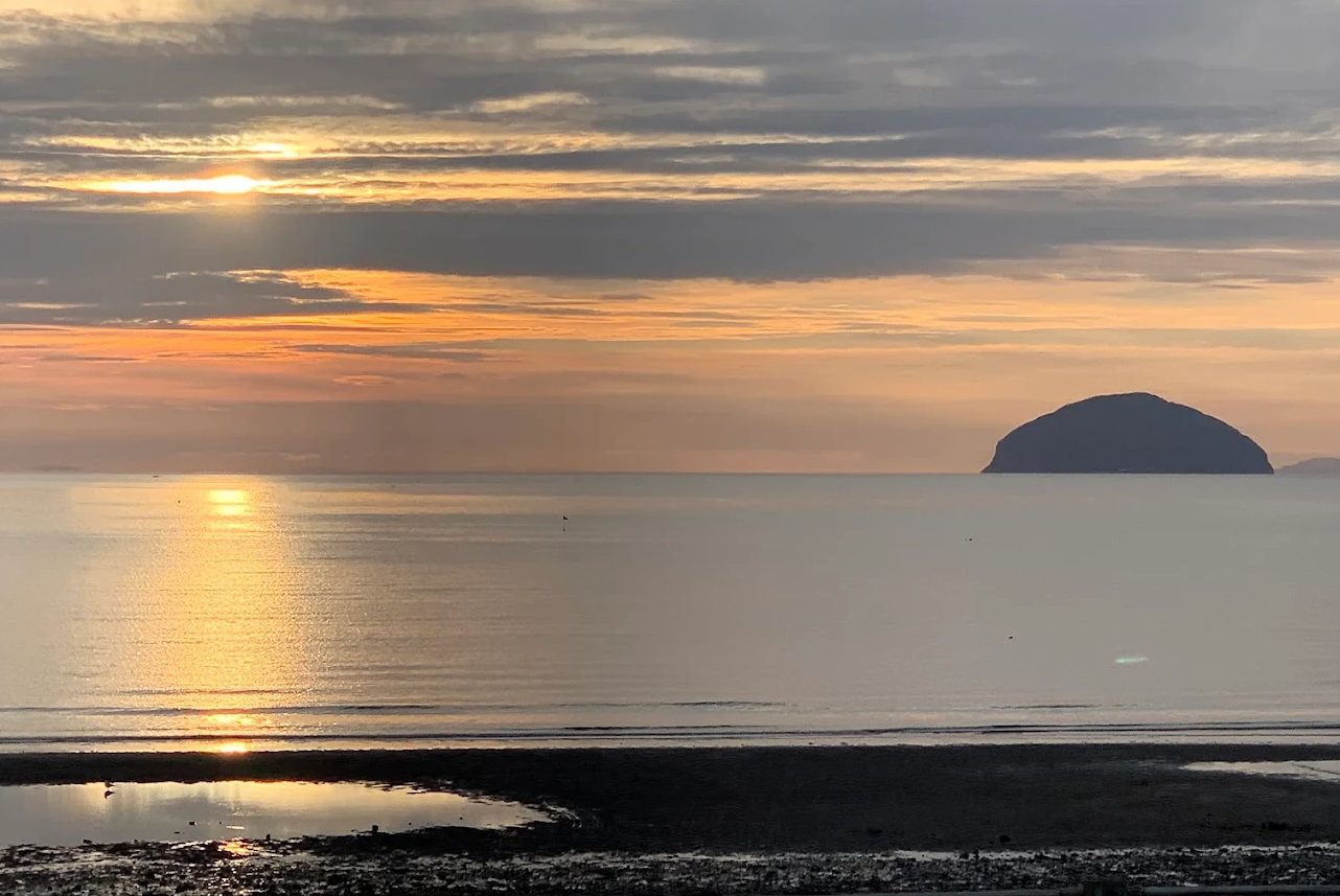
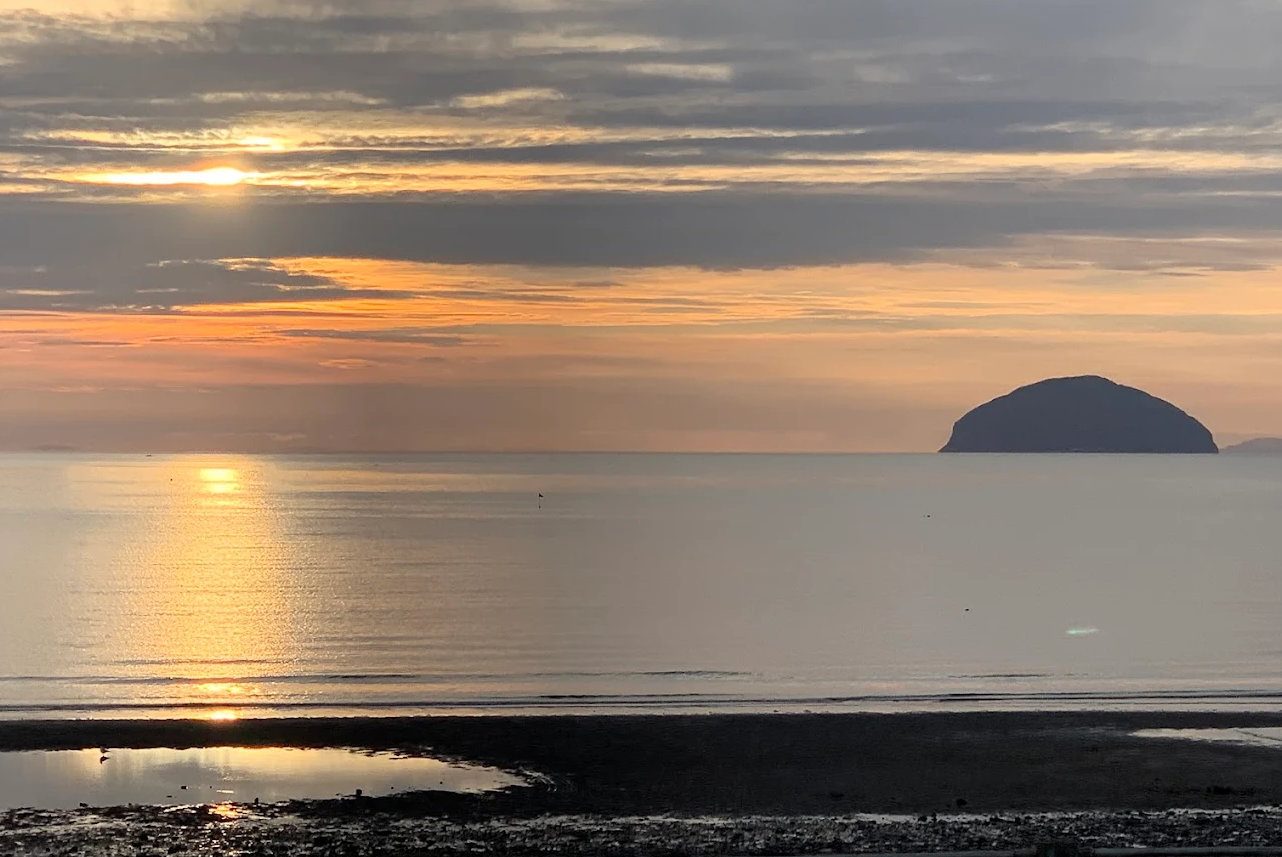
Girvan beach at dusk

Coastal walk · Moderate

Lendalfoot to Girvan Walk (Ayrshire Coastal Path Stage 3)

The classic Girvan walk: bus to Lendalfoot, walk home along the shore and over the old coach road.

FreeModerate6 milesDog-friendly (livestock)

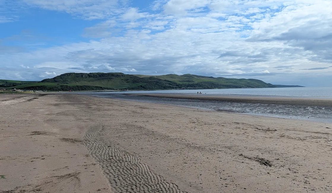
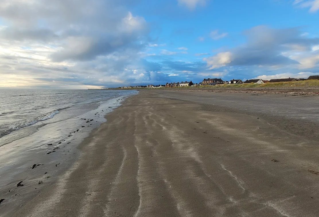
Pictured: Girvan beach at dusk — a general view of the area, not of this place.

This is the walk to do from Girvan. Six miles, one way, ending at your own front door — and along the way you cross a beach made of ancient ocean floor and climb an abandoned coach road to what is arguably the finest view on the Ayrshire coast.

It is Stage 3 of the Ayrshire Coastal Path, walked northwards.

Getting to the start

Take the Stranraer-bound bus from Girvan to Lendalfoot — about fifteen minutes. The stop is called 'Telephone Exchange' and it is unmarked, half a mile south of the Varyag memorial; tell the driver where you are going. Buses run every two to three hours, so check times before setting out.

Alternatively, leave one car at the Varyag memorial and another at Ainslie Park.

Aim for a falling tide. The first two miles are along the shore and are considerably easier — and safer — with the water going out.

The route

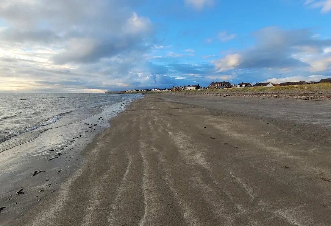
1. The shore (about 3 km). From the memorial drop onto the beach and walk north over sand, shingle and rock. This stretch is rich in birds, and the named features are Black Neuk, Woodland Bay and Horse Rock. Boots with ankle support are genuinely worth having; poles help.

2. Up to the road. At the end of the beach, waymarkers direct you up to the A77. Walk the verge north a short way, then cross with great care — see the warning below — to a gate and a gravel track.

3. The old coach road. The track climbs steeply up the back of an old quarry onto Pinbain Hill. This is the original road along this coast, in use until the modern route was blasted through Kennedy's Pass below.

4. The top. The track levels out across farmland — kissing gates, cattle, and muddy puddles after rain. This is the reason for the walk: Ailsa Craig, Arran, the Mull of Kintyre and the coast north to Turnberry, all at once. Look for roe deer.

5. Down and home. The track descends to the road at the far end of the pass. A short verge section and a ladder stile bring you back to sea level for the last two miles along the shore and the promenade into Girvan, finishing at Ainslie Park, where there are toilets and David's Snack Bar.

You are walking on the sea floor

The rock underfoot on that first shore section is internationally important, and almost nobody walking it knows.

This is the Ballantrae Complex — an ophiolite, which is a slice of oceanic crust and the mantle beneath it that has been torn from the sea bed and thrust up onto the edge of a continent. It crops out over about 75 square kilometres between Girvan and Ballantrae, and it is Early Ordovician, around 480 million years old.

What that means in practice is that the beach is a jumble of rock types you will not see together anywhere else in southern Scotland: pillow lavas that cooled underwater into rounded sacks, green serpentinite from the mantle, gabbro, red and black cherts. Much of it is protected as Sites of Special Scientific Interest, and geologists come from around the world to look at it.

The serpentinite is soft, which is why this coast has its boulder-strewn foreshore backed by raised beaches and an old fossil cliff-line — most clearly seen right around Lendalfoot.

Take nothing but photographs. It is low tide that exposes the best of it.

The coach road

Before the A77 was blasted along the shore, everything travelling this coast went over the hill. The track you climb is that road, and it has been abandoned long enough to feel genuinely old.

Its surface is said to show early tarmacadam of the kind pioneered by John Loudon McAdam, the Ayr-born engineer whose surname is buried in the word 'tarmac'. He was surveyor of roads in this county, so the association is plausible, though we have not been able to confirm this particular stretch as his work.

Safety

The two A77 crossings are the real hazard on this walk. It is a fast single-carriageway trunk road carrying lorries to the Irish ferries, on bends, with no crossing point. Wait for a genuinely clear gap, cross one at a time, and keep children and dogs close. Do not attempt it in poor visibility.

Other things worth knowing:

  • Cattle are likely on the farmland section. Keep dogs on leads and give calves a wide berth; if cattle approach, let the dog off rather than stand between them.
  • Leave gates as you find them.
  • Check the tide. The shore sections are much harder at high water and the rock is slippery when wet.
  • Kennedy's Pass occasionally closes for rockfall, which affects the buses as well as the road.

Shorter and easier versions

  • The coach road there-and-back — start at the Kennedy's Pass lay-by and walk up and back, about two miles. You get the whole view without the shore, the stile or the road crossings.
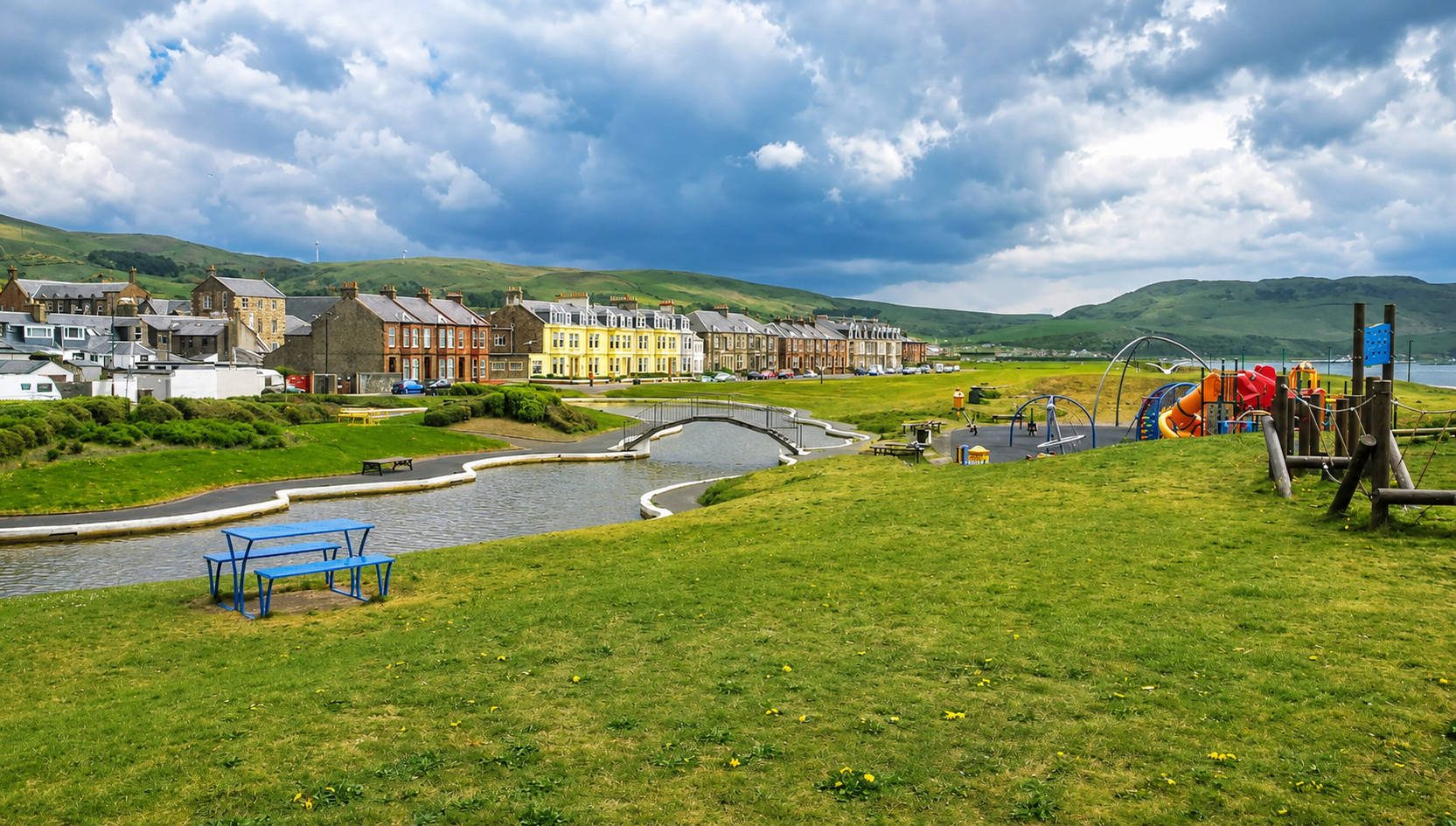
  • Girvan to Ainslie Park and back — the flat promenade mile at the northern end, step-free and suitable for anyone.
  • The full stage in reverse, walking south from Girvan, works too, but the bus timings are less convenient and the big view arrives at the wrong end.

For the stage further south, see Ballantrae to Lendalfoot; for the ridge above, Grey Hill.
Questions visitors ask

Frequently asked

How long is the Lendalfoot to Girvan walk?

About 6 miles one way — some guides measure 7.5 including the promenade — taking two and a half to three and a half hours.

Is there a bus from Girvan to Lendalfoot?

Yes, Stagecoach services between Girvan and Stranraer stop at Lendalfoot. The stop is called 'Telephone Exchange', it is unmarked, and buses run every two to three hours — check times before setting out and tell the driver where you want off.

Which direction should you walk it?

Northwards, from Lendalfoot to Girvan. You finish in the town rather than at an unmarked bus stop, and the big view from the coach road arrives at the right point in the walk.

Do you need to check the tide?

Yes. Roughly two miles are along the shore, and a falling tide makes it considerably easier and safer. Low tide also exposes the best of the rock.

How difficult is it?

Moderate. Only about 100 metres of ascent, but the shore section is rocky and uneven, there is one steep climb up an old quarry, and there is a ladder stile. Boots with ankle support are worth having.

What is the main hazard?

The two crossings of the A77 — a fast trunk road carrying lorries to the Irish ferries, on bends with no crossing point. Wait for a genuinely clear gap and cross one at a time.

Can you take a dog?

Yes, but cattle are likely on the farmland section. Keep dogs on leads near livestock, and if cattle approach, let the dog off rather than standing between them.

What is the view from the top?

Ailsa Craig, Arran, the Mull of Kintyre and the coast north to Turnberry — arguably the finest view on this coast, and the reason to do the walk.

What is special about the rocks?

The shore crosses the Ballantrae Complex, an ophiolite — a slice of oceanic crust and mantle thrust up onto land about 480 million years ago. You will see pillow lavas, green serpentinite, gabbro and cherts, much of it protected as SSSIs.

Is there a shorter version?

Yes — start at the Kennedy's Pass lay-by and walk the coach road up and back, about two miles. That gives you the whole view without the shore section or the road crossings.

Where does the walk finish?

Ainslie Park at the south end of Girvan promenade, where there are toilets, free parking and David's Snack Bar.

What is the old coach road?

The original road along this coast, used before the modern A77 was blasted through Kennedy's Pass below. It climbs from an old quarry onto Pinbain Hill and crosses farmland before descending at the far end of the pass.

Keep exploring

Related pages

Sunset behind Ailsa Craig

Kennedy's Pass

Kennedy's Pass is where the A77 south of Girvan was cut through the cliff above the sea — lay-bys, big views to Ailsa Craig, the old coach road over Pinbain, and a shore of pillow lavas and ancient ocean floor that is internationally important geology.

7 miles · 12 minFreeOutdoor
Winter dusk on Girvan beach

Varyag Memorial

A bronze memorial with a Russian Orthodox cross above the shore at Lendalfoot, marking where the Imperial Russian cruiser Varyag was wrecked in 1925. Free car park, big views to Ailsa Craig, and the start of the coastal path to Girvan.

7 miles · 12 minFreeOutdoor
The North Parish spire from Girvan harbour

Grey Hill ridge walk

The high alternative to the coastal path: 5.5 miles along the ridge of the Carrick coastal hills from Kennedy's Pass to Girvan, over Grey Hill at 297 metres, with the Firth of Clyde below you the whole way.

7 miles · 12 minFree5.5 miles
Girvan seafront

Lendalfoot

Lendalfoot is a shore village 7 miles south of Girvan — rocky beaches with world-class geology, the Varyag memorial to a Russian cruiser, Carleton Castle, Ailsa Craig at its closest, and the coastal path back to Girvan over Kennedy's Pass.

7 miles · 12 minWalksGeology
Byne Hill from Girvan beach

Ayrshire Coastal Path

The Ayrshire Coastal Path runs 100 miles from Glenapp to Skelmorlie and the wildest stages are on Girvan's doorstep. The four southern stages explained, with distances, terrain, bus links back and what to watch for on the tide.

FreeWaymarked
Sunset over Ailsa Craig

Ballantrae to Lendalfoot walk

Stage 2 of the Ayrshire Coastal Path — 6.5 miles of shingle beach, raised-beach cliffs, Bennane Head and the Sawney Bean caves, finishing at the Varyag memorial at Lendalfoot. Moderate to difficult; bus back along the A77.

13 miles · 20 minFree6.5 miles