The Ayrshire Coastal Path runs 100 miles from Glenapp, just north of the Dumfries and Galloway border, to Skelmorlie in the north — and it exists because a group of volunteers decided it should. It was created by the Rotary Club of Ayr to mark the organisation's centenary, devised and coordinated by a retired GP, Dr Jimmy Begg, and built over four years of surveying, negotiating with landowners, scrub-clearing and path-building. It opened in June 2008 and is now one of Scotland's Great Trails, maintained by a volunteer squad of 'Pathminders'.
It also forms part of something much larger. Linked to the Mull of Galloway Trail in the south and the Clyde Coastal Path in the north, it makes up the 135-mile Firth o Clyde Rotary Trail, which in turn connects to the Scottish section of the International Appalachian Trail.
Why the Girvan end is the good end
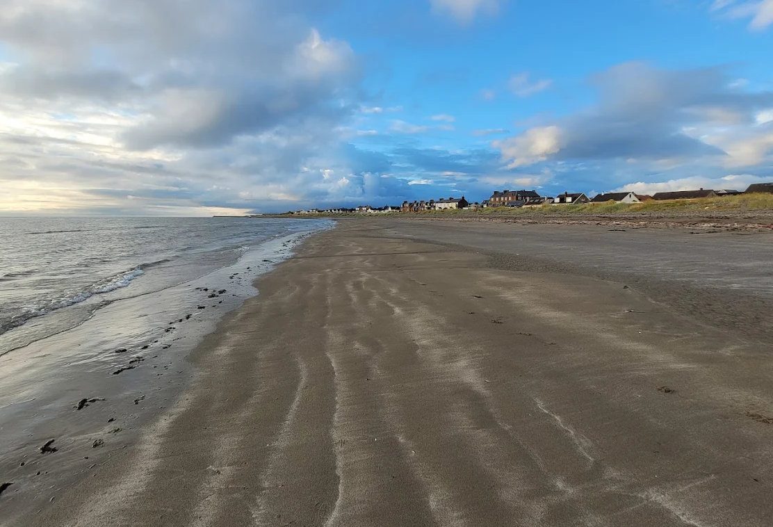
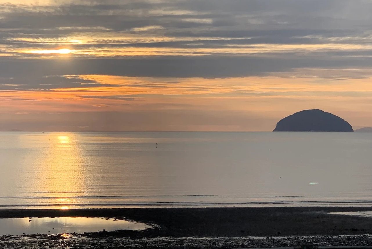
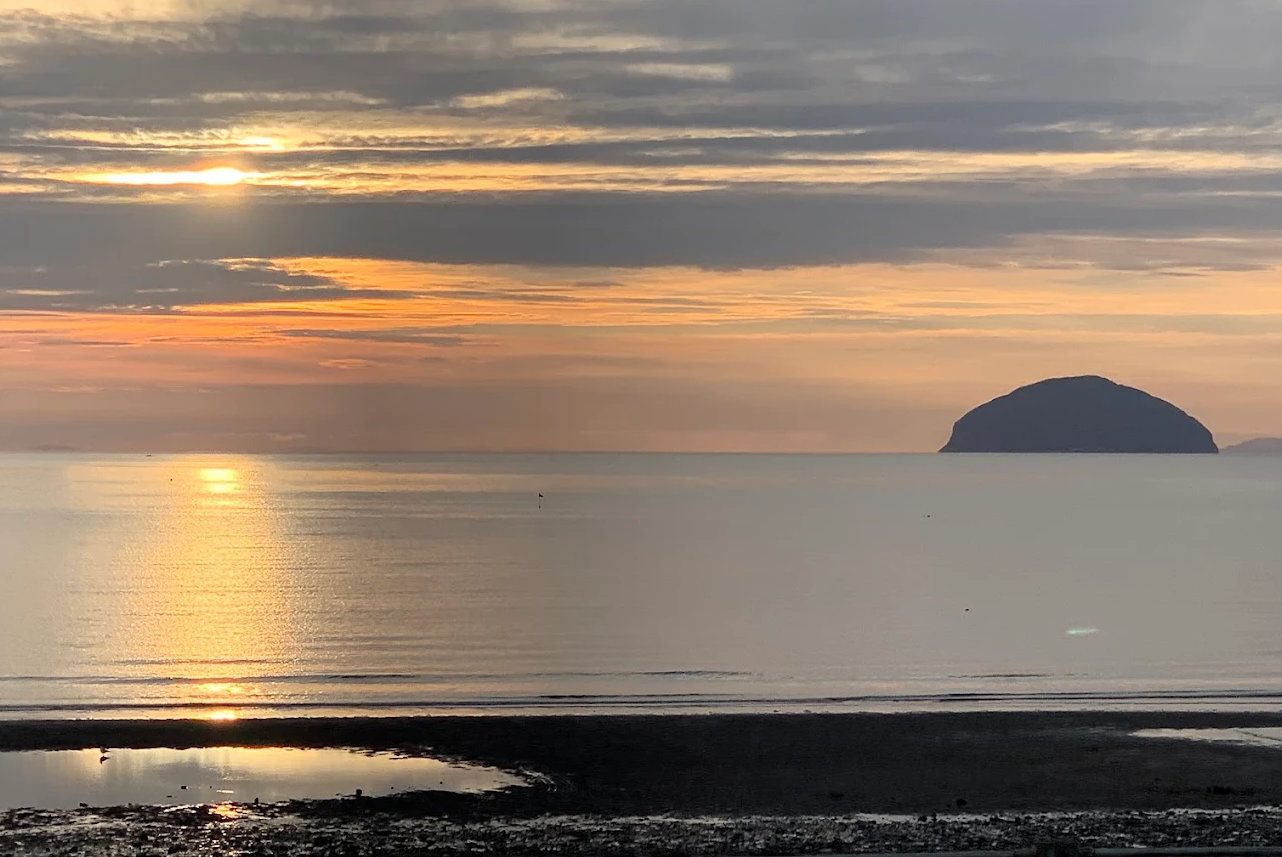
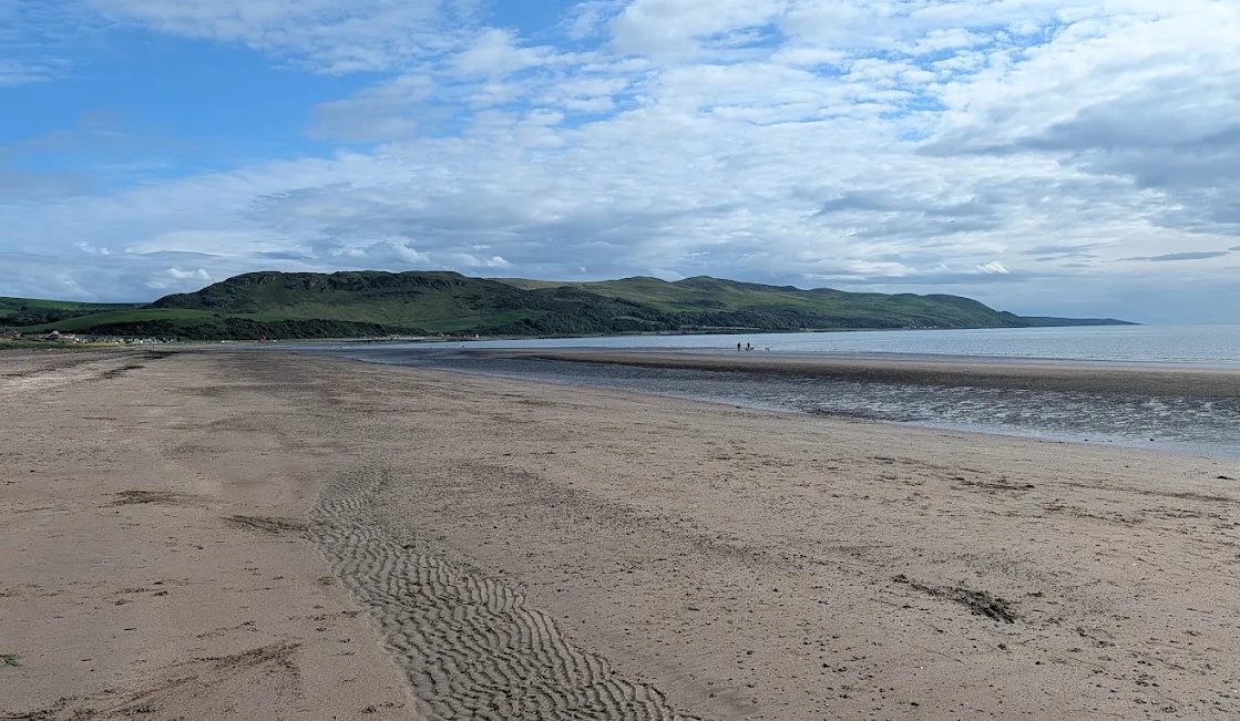
Most of the path's northern half is gentle: sweeping beach walking through Ayr and Irvine bays. The southern stages, around Girvan, are the wild ones — cliff-top tracks, old turnpike roads, rocky shores and raised beaches, with Ailsa Craig offshore the whole way and Arran filling the horizon further north. If you only walk part of this path, walk this part.
Note that the guidebook recommends walking northwards, so the wind and sun are behind you.
The four stages near Girvan
- 1. Glenapp to Ballantrae — about 7 miles, moderate. Starts in the Glenapp estate woods and follows the shore north. No facilities at Glenapp, though buses run along the A77.
- 2. Ballantrae to Lendalfoot — about 6.5 miles, moderate to difficult. Beach and shingle to Bennane Head, then a stretch of roadside verge; the caves and the Varyag memorial.
- 3. Lendalfoot to Girvan — 6 to 7.5 miles, moderate. Shore, then the old coach road over Kennedy's Pass, then Ainslie Park and the promenade into town. The best single day on the southern half.
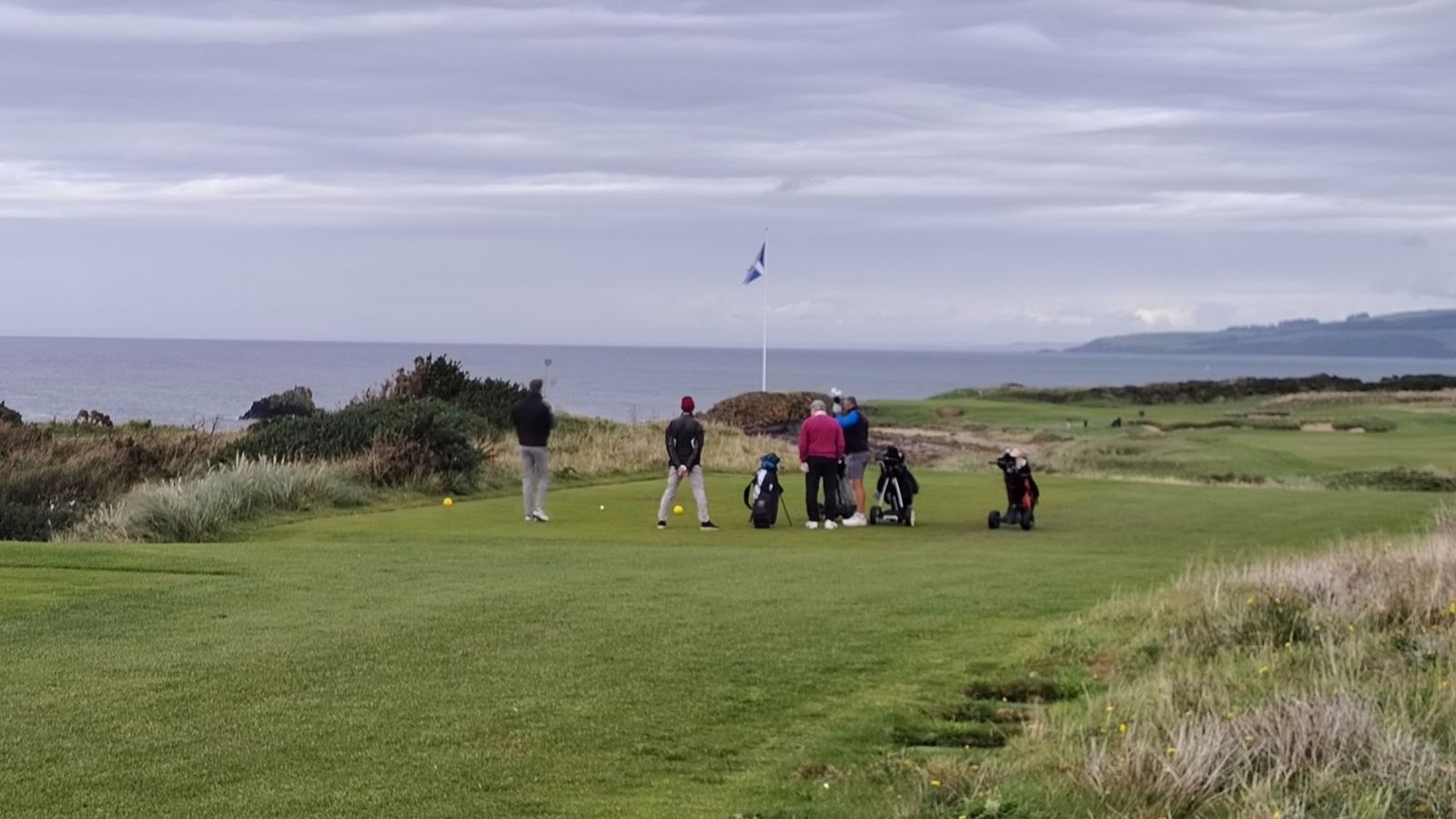
- 4. Girvan to Maidens and Culzean — 8 miles to Maidens, 11 to Culzean, easy to moderate. Flat shore past the golf links, Turnberry lighthouse, Maidens harbour and into the Culzean estate.
Logistics
This is the practical advantage of walking here: the path shadows the A77 and the bus route, so you can walk one way and ride back. Stagecoach services 58, 60, 358 and 360 run between all the stage ends every hour or two, and Girvan has a railway station. Take the bus out in the morning and walk home.
Parking is available at Ballantrae (The Vennel), Lendalfoot (the free Varyag memorial car park), Girvan and Maidens.
What to know before you go
Some sections are impassable at high tide. This is the one thing that catches people out — check tide times before setting off on any beach or rocky-shore section, and be prepared to wait or use the road. Search for Girvan tide times.
The going varies more than the word 'coastal' suggests: expect pebbles that drain the legs, mud after rain, some steep clifftop ground and a few stretches of roadside verge on a fast road. Boots rather than trainers. Carry water — there is nothing between the villages.
The official guidebook, produced by the Rotary Club of Ayr with proceeds going to charity, has the full stage descriptions plus a lot of local history and natural history. It is worth having if you are walking more than a stage or two. See walking near Girvan for the shorter routes and the hills.