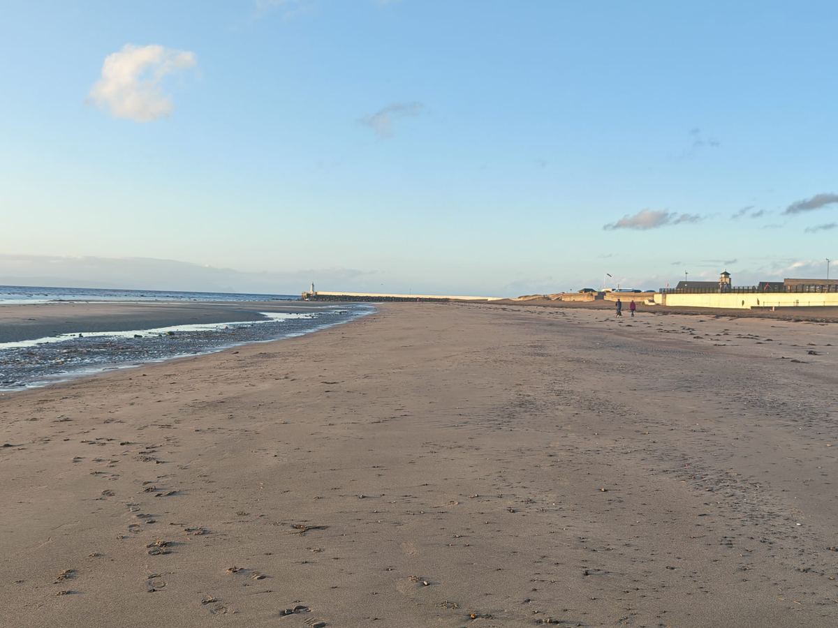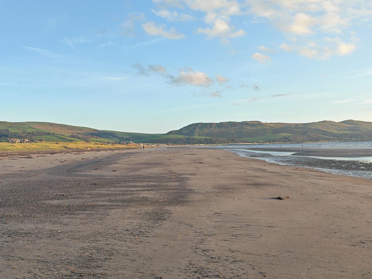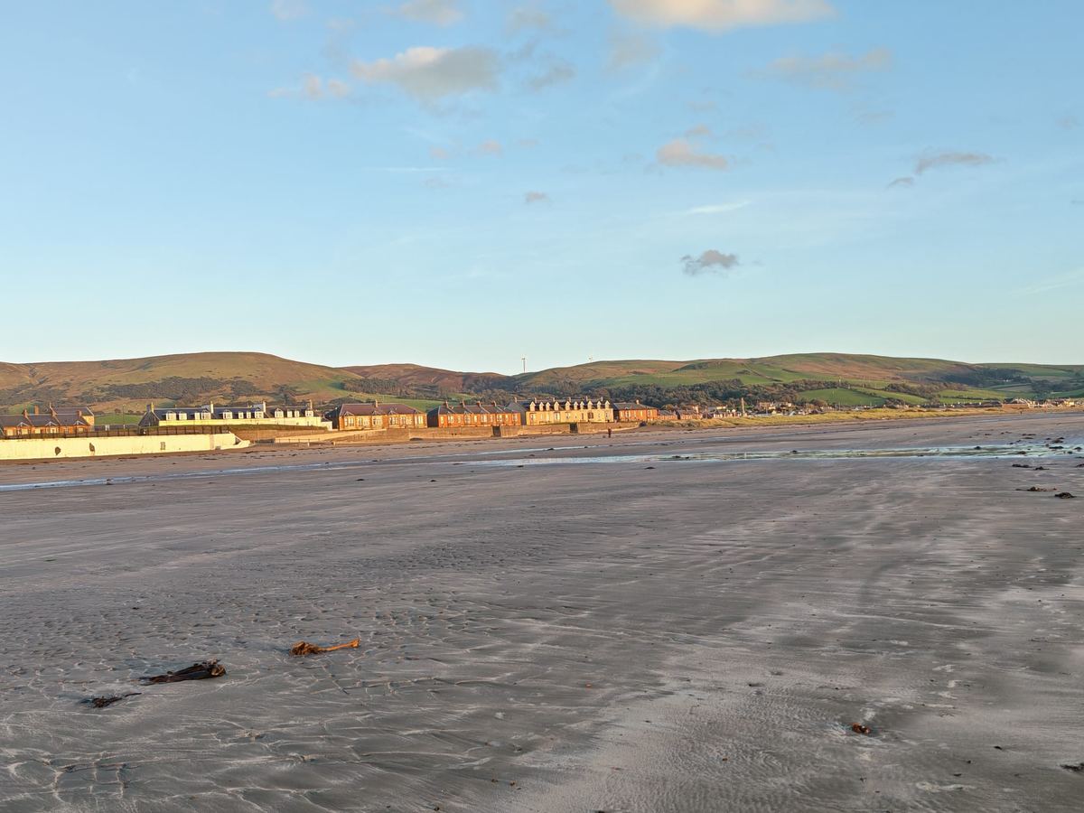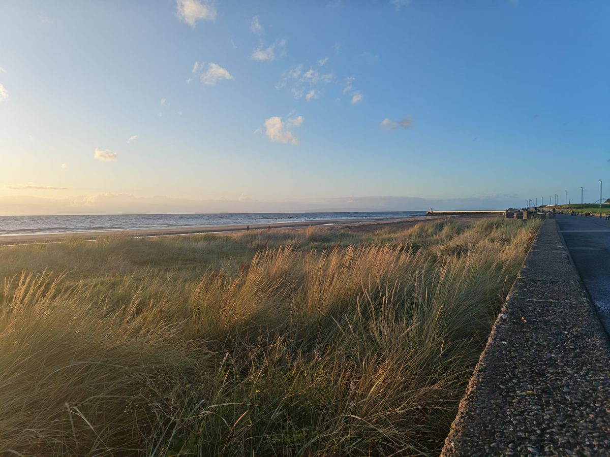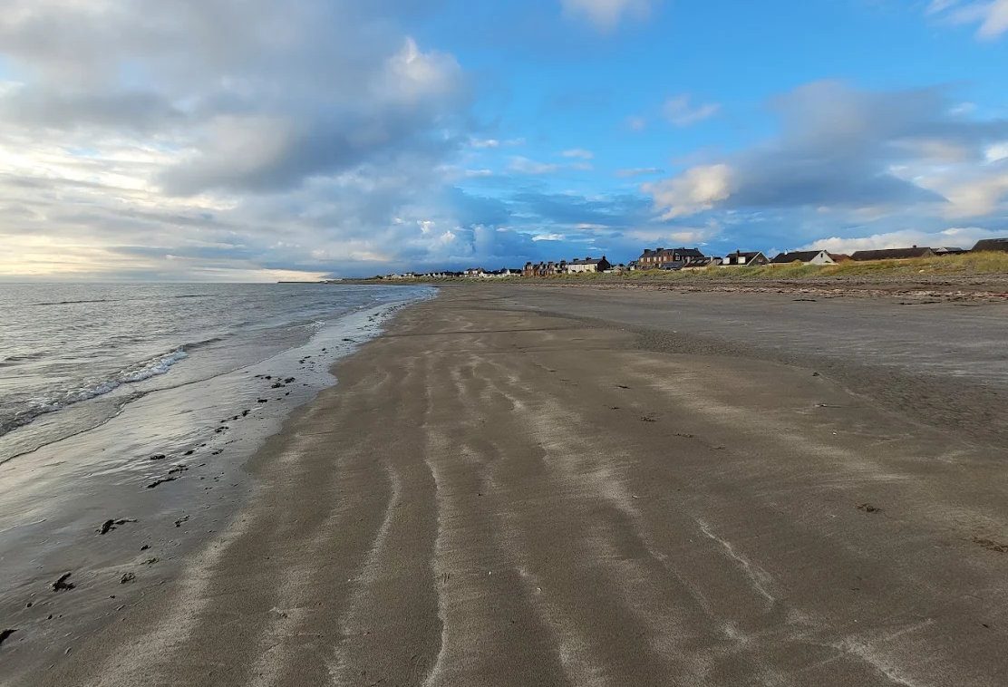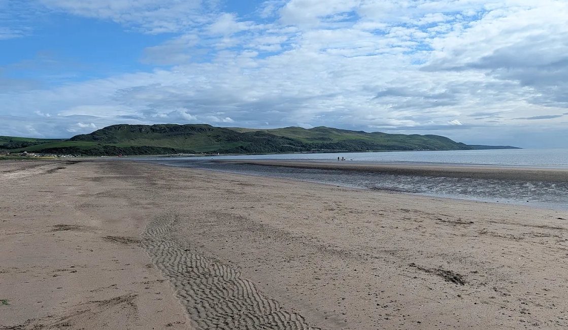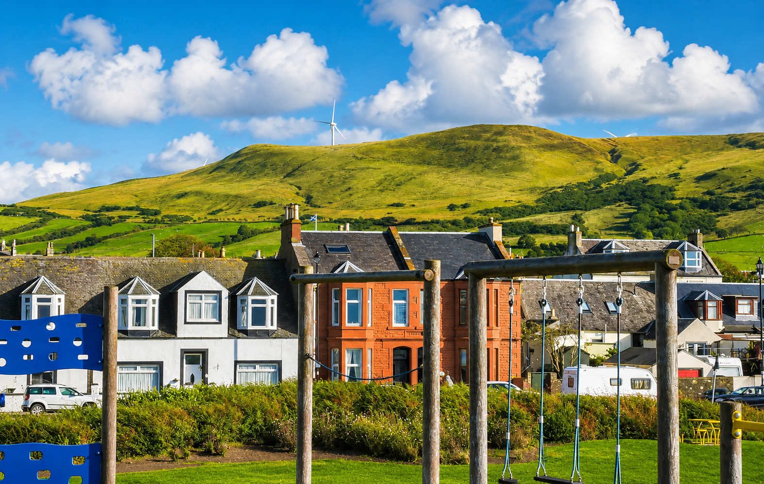
Girvan's beach runs south from the harbour mouth for about two kilometres to Ainslie Park, with the promenade following it the whole way. SEPA describes it as a flat bay, mostly sand with some shingle, and the town has been selling it to visitors for 165 years.
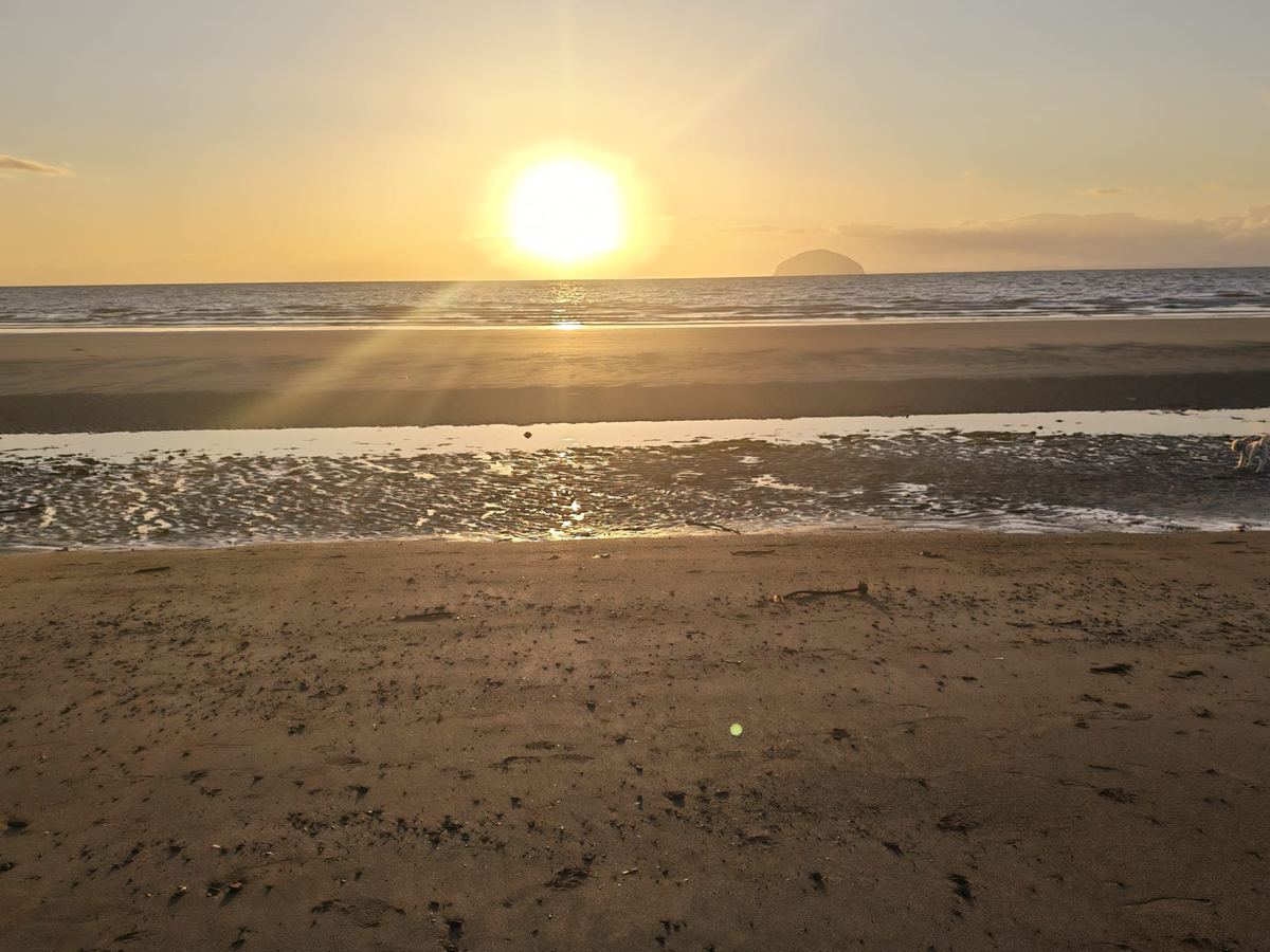
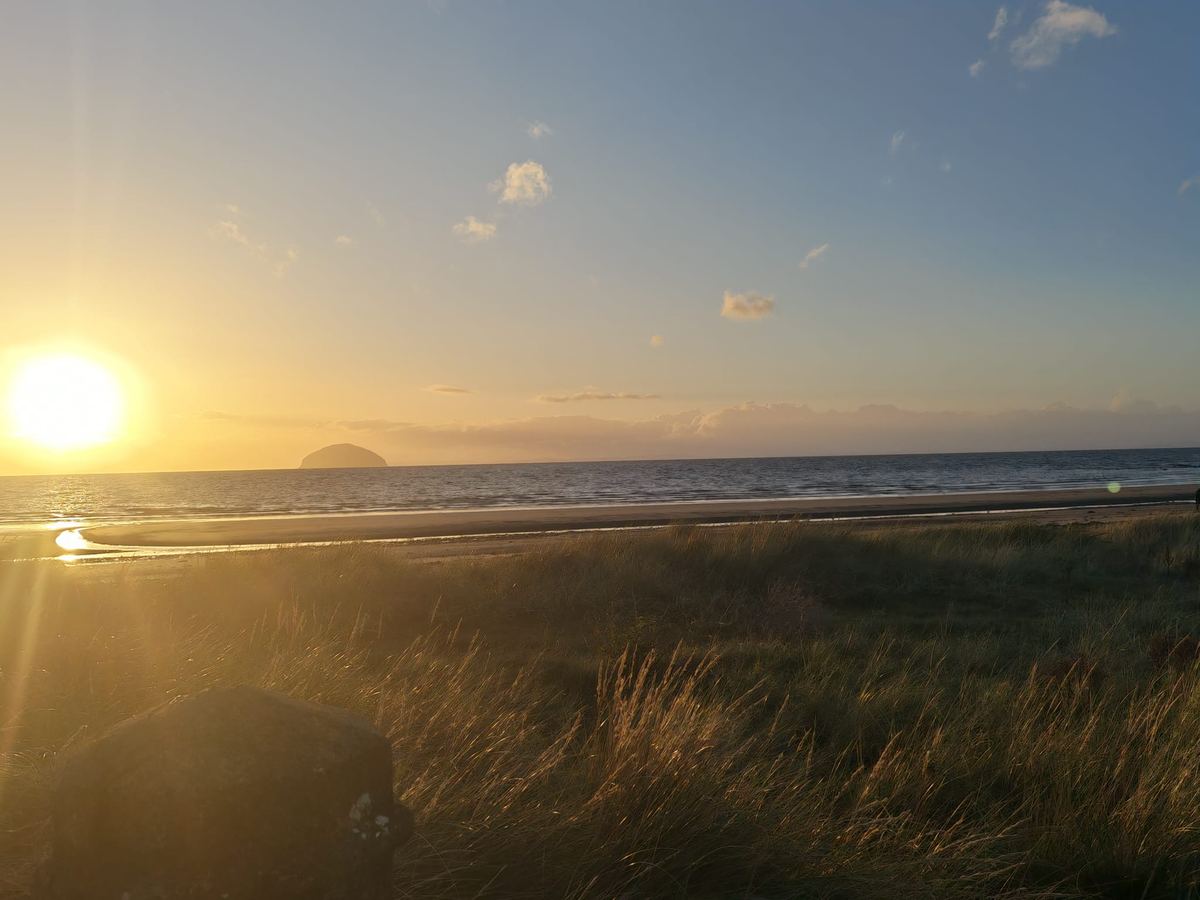
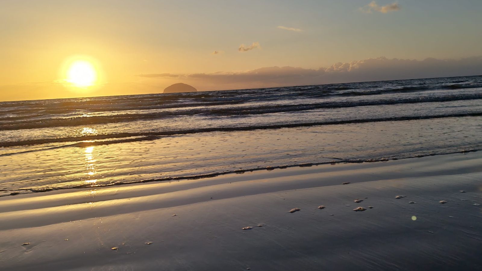
The single most important thing about it is the direction it faces. Almost due west — which is why the evenings here are what people remember, and why the sun goes down behind Ailsa Craig for much of the summer.
The tide changes everything
This is the practical fact that catches people out. Depending on the state of the tide, the distance from the promenade to the water's edge varies between about 30 and 150 metres.
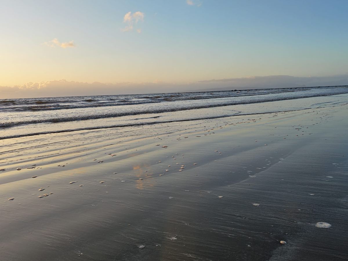
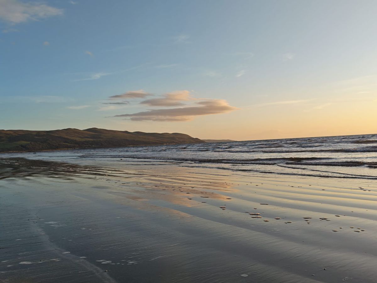
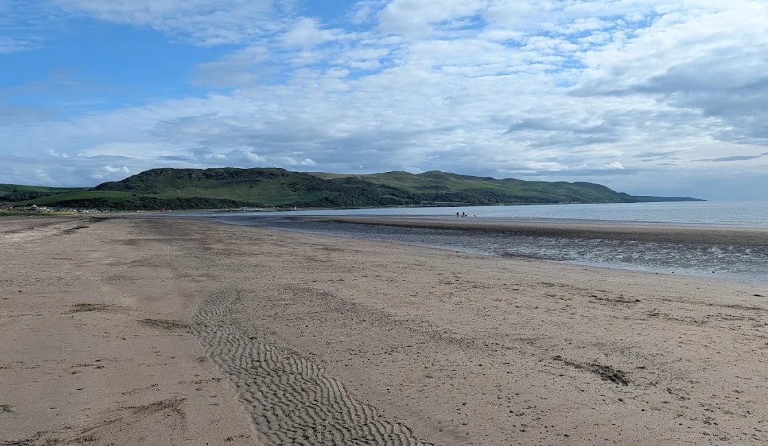
At low tide it is a broad expanse of firm sand — good for running, kites, football and very long walks. At high tide the water comes up to the shingle, the sand largely disappears, and the promenade becomes the place to be. Neither is better; they are simply different beaches, and it is worth knowing which one you are going to get.
Low tide also exposes rock pools at the southern end near Ainslie Park, and gives the widest, firmest ground for pushchairs and wheelchairs. Search for Girvan tide times before setting out.
Swimming, and the rainfall rule
Girvan is a designated bathing water, monitored by the Scottish Environment Protection Agency through the official season from 15 May to 15 September, with daily quality forecasts published by 10am.
The beach shelves gently and local dippers swim here all year round. But three things are worth knowing before you go in:
- There are no lifeguards, at any time of year.
- Avoid the river mouth by the harbour. The Water of Girvan runs out there and currents move; the safe swimming is well south of it.
- Do not swim during or for one to two days after heavy rainfall. This is SEPA's own advice for Girvan. The bathing water catchment covers 260 square kilometres of mostly farmland, and heavy rain brings agricultural run-off and sewer overflows down the river. It is the single most useful piece of local knowledge on this page.
Check the current classification and the daily forecast on SEPA's bathing waters site rather than relying on how the water looks.
What is at the beach
The northern end, next to the harbour, is where most of the activity is:
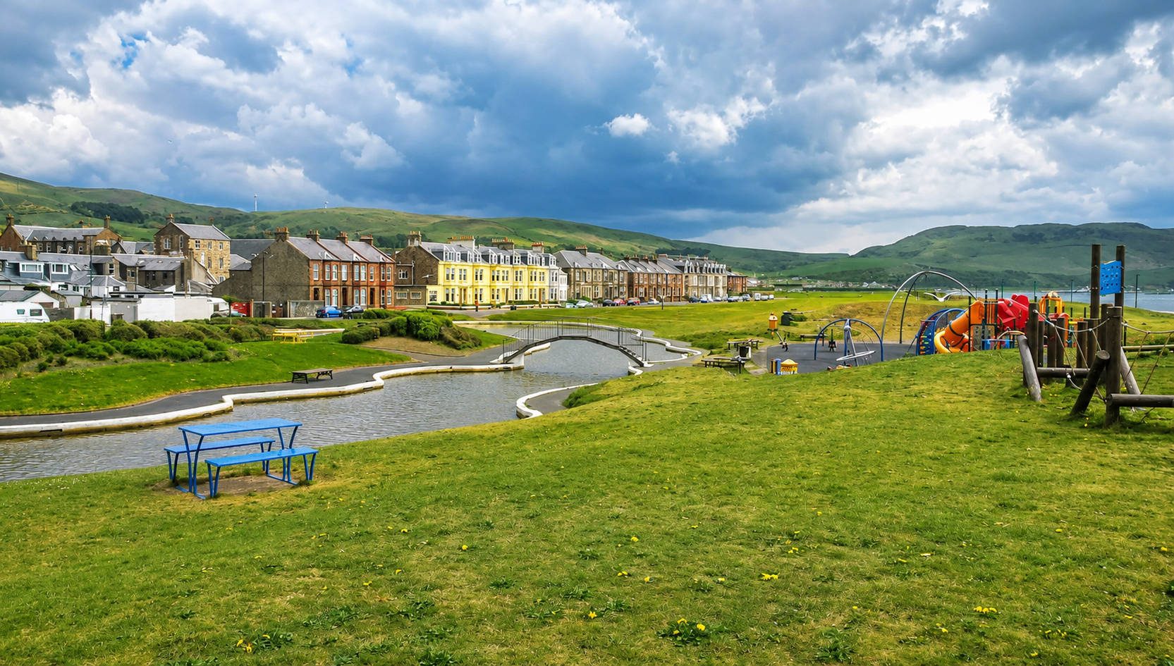
- The boating pond, with an island reached by a small bridge, and pedal and rowing boats in season. There is no fencing between the play park and the water — worth knowing if you have very small children.
- The play park — swings, slides, climbing frames, a zip line, and picnic tables out on the island.
- A putting green in season.
- Public toilets, and the chip shops, gelateria and cafés of Knockcushan Street a minute away.
- The small pier and its little lighthouse at the harbour mouth — the best place to photograph the beach looking back at the town.
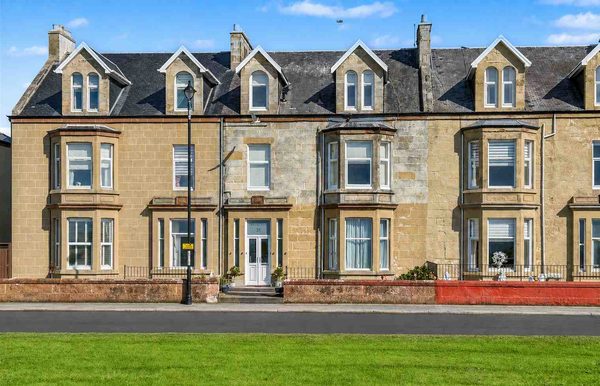
Walking south, the promenade quietens: shelters and benches facing the sea, the seafront villas behind, and then Ainslie Park at the far end, with a large free car park, toilets on seasonal hours, and David's Snack Bar — a roadside van that has been there over twenty years doing breakfasts, soup, stovies and ice cream.
The Ayrshire Coastal Path leaves the town from Ainslie Park heading south for Kennedy's Pass and Lendalfoot, and Byne Hill climbs from the same car park.
Lou Lou's ball box
At the foot of the steps down to the sand, a small woven basket is tied to the railing with a black plaque bolted beneath it. It is a memorial to a dog called Lou Lou, who, the plaque says, loved this beach.
The basket holds tennis balls, and the instruction on the plaque is three lines long: take a ball, leave a ball, have a ball. Under that is a line about grief being the price of something having been wonderful while it lasted. People have tied collars and ribbons to the rail beside it.
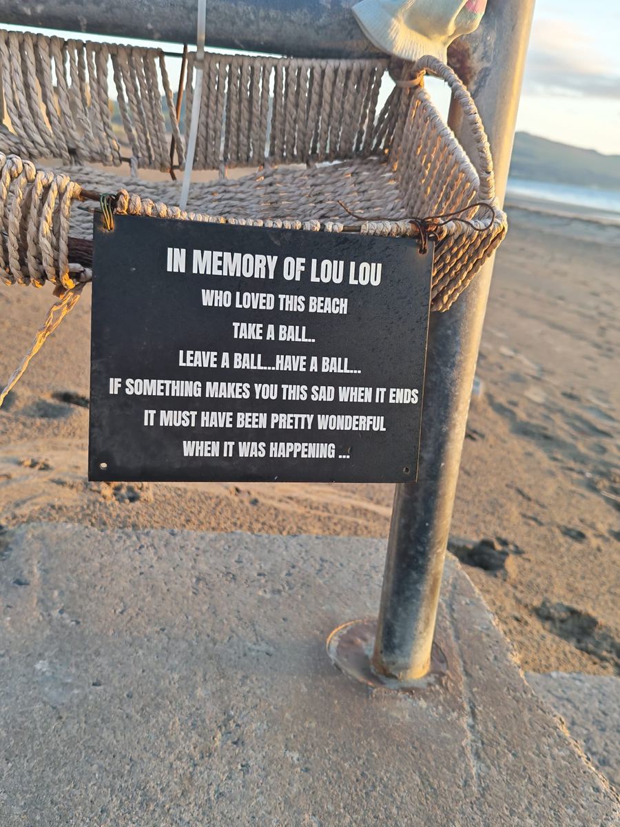
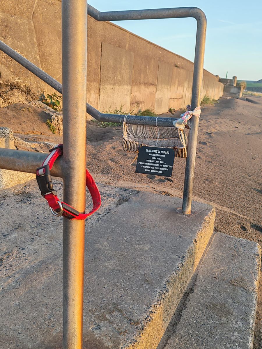
It is the best thing on the promenade, and it tells you something the tide tables and the water-quality data do not. This is a dogs' beach, all year, and the people who use it look after it. If you are walking a dog here and you find a ball on the sand, that is what it is for. Put one back when you can.
The resort that built it
Almost everything you are standing on was built to sell this beach to Glasgow.
The railway arrived in 1860, and Girvan reinvented itself as a seaside resort within a generation. In 1875 the Earl and Countess of Stair gifted Stair Park to the burgh — 'expressly in trust for the people of Girvan' — and it remains Common Good land to this day.
Victorian and Edwardian visitors came for the sea air, walked the promenade to see and be seen, and watched the Pierrots perform at the bandstand in the park. The Edwardian bandstand still stands at the south end of Ainslie Park, derelict, and its future has been argued over for years.
Between the wars the beach was busier than it has ever been since. The boating lake had a red-painted bridge and motorboats, children were shepherded round the yachting pond, and the shows filled the front — carousels, chair-o-planes, a helter-skelter, roll-a-penny stalls and the smell of candy floss.
By the 1960s and 70s, with the package holiday pulling crowds to Spain, the town fought back with entertainment at the Beach Pavilion: singers, magicians and talent competitions with names like Glamorous Grannies and Bonny Babies.
That era is gone, and the beach is quieter and better for it. But the shape of the seafront — prom, shelters, pond, putting green, villas — is a Victorian resort plan, and reading it that way makes more sense of the place. See the history of Girvan.
The lifeboat
The RNLI has had a lifeboat at Girvan since 1865 — sixty years of it before the pier was even finished. The station on Knockcushan Street currently operates a Shannon-class all-weather lifeboat, the Elizabeth and Gertrude Allan, on service since 2018.
The station's own history contains the best small story on this coast. In 1898, when the telegraph failed, two men — Mr McKenna and Mr Lawson — rode a tandem bicycle the thirteen miles to Ballantrae to report a vessel in distress. They arrived at three in the morning, covered in mud and soaked through.
The view
Ailsa Craig is ten miles out and 1,110 feet high, rising straight from the sea, and it dominates. North you can pick out Turnberry lighthouse on its point, then the mountains of Arran; on a clear day the Mull of Kintyre, and occasionally the coast of Northern Ireland to the south-west.
Take binoculars. Gannets fish offshore all summer — they come from the colony on the Craig — with seals around the harbour, and porpoises and the occasional basking shark further out. See wildlife and photography.
Practical notes
- Free parking at the harbour car park (KA26 9AG) and Ainslie Park (KA26 0HW), with toilets at both.
- Twelve minutes' walk from the railway station — turn right out of the station and head for the sea.
- Dogs are welcome all year, with no seasonal restrictions — unusual on a Scottish beach and worth knowing. See dog-friendly Girvan.
- The wind matters. The beach is sheltered from easterlies and fully exposed to westerlies. The sheltered spot is under the harbour wall; the prom shelters exist for a reason.
- Girvan prom parkrun runs the promenade every Saturday at 9.30am — free, and walkers welcome.
- Gulls are practised at taking food from hands. Eat with your back to a wall.
- Best sunsets are roughly May to August, when the sun sets behind the Craig. In June it does not go down until after ten.