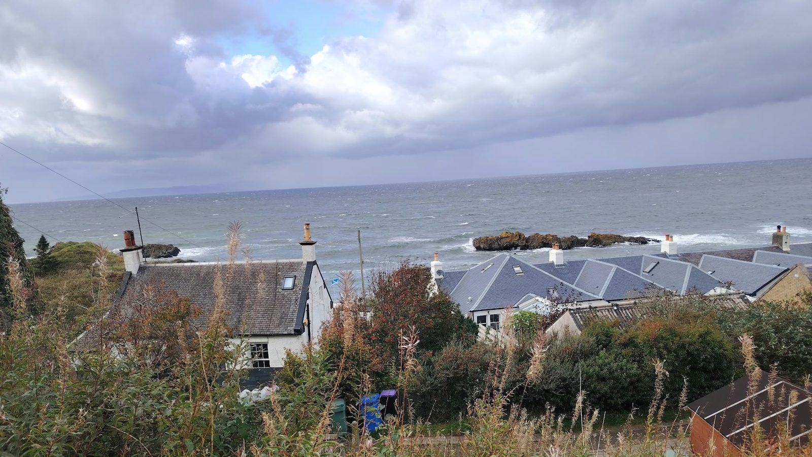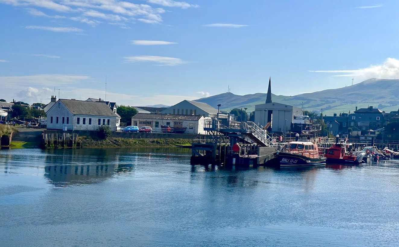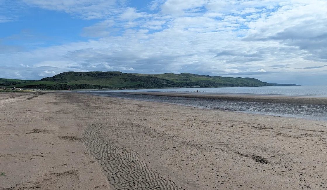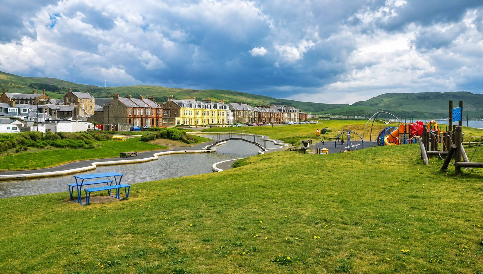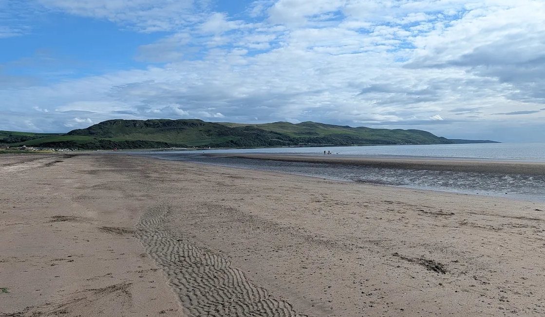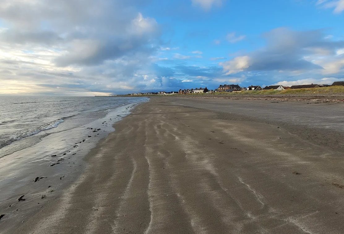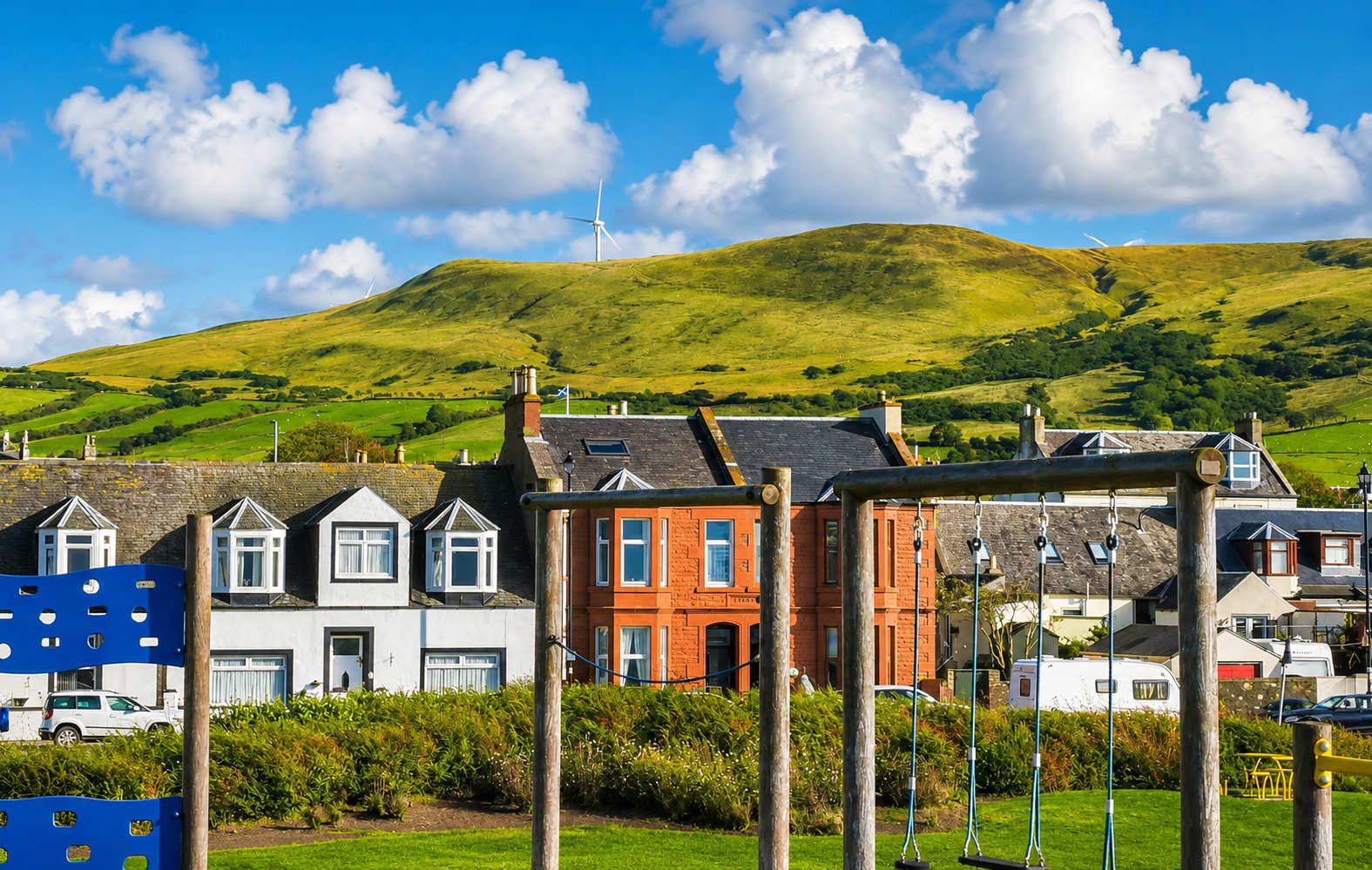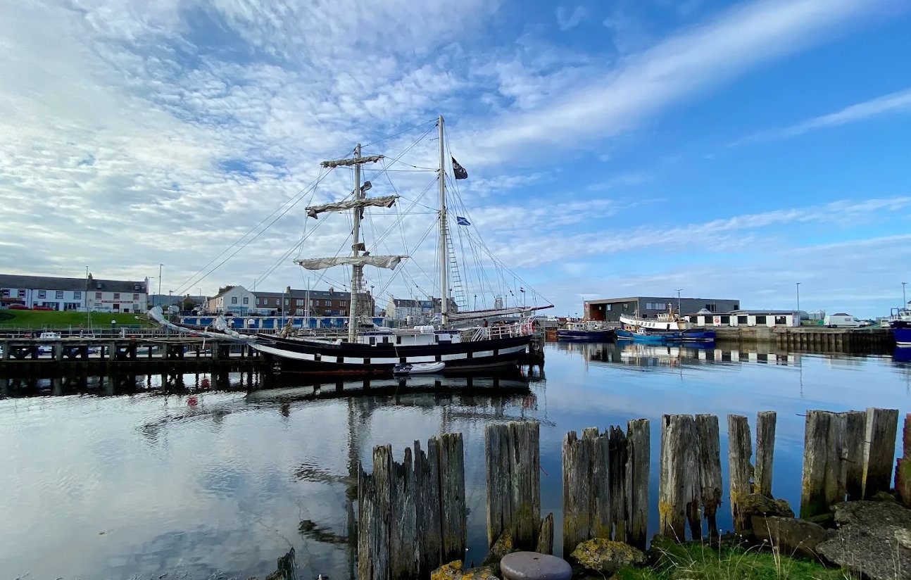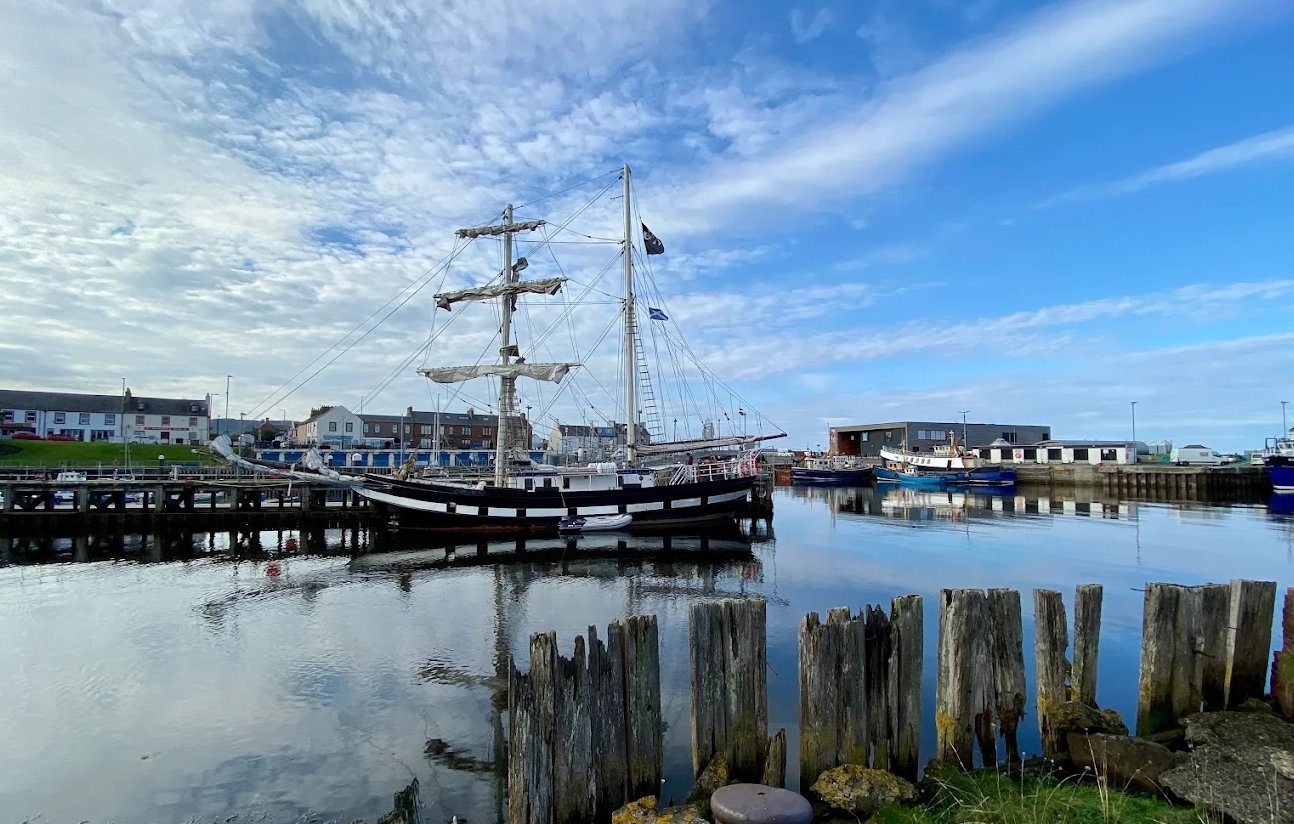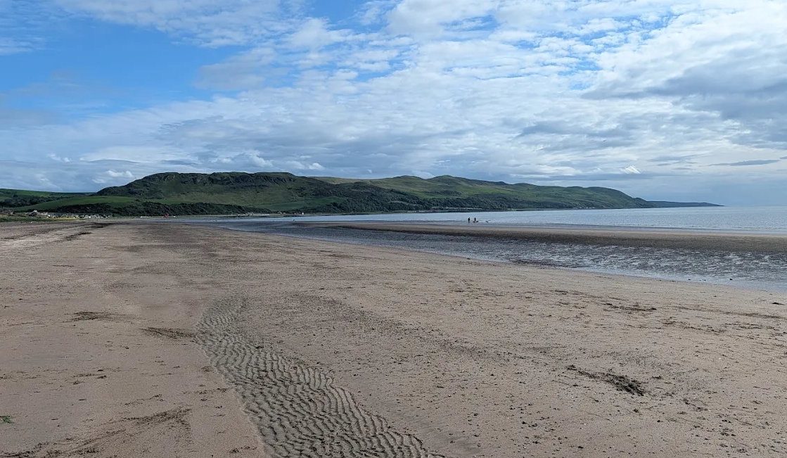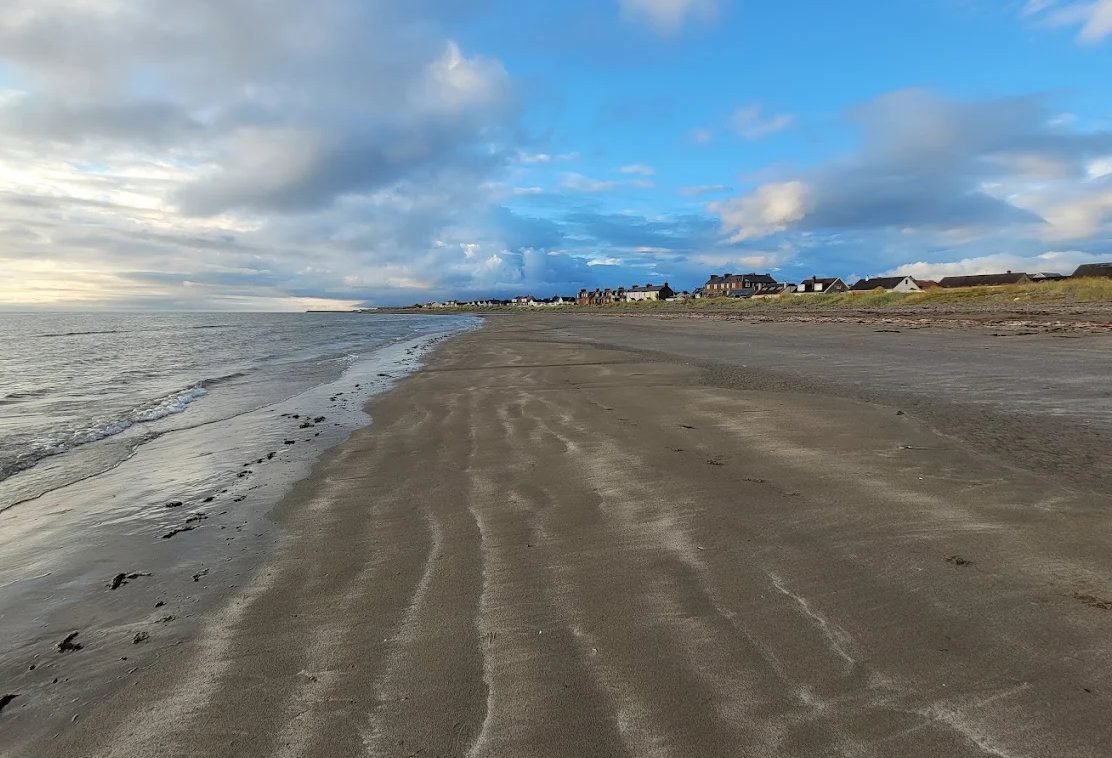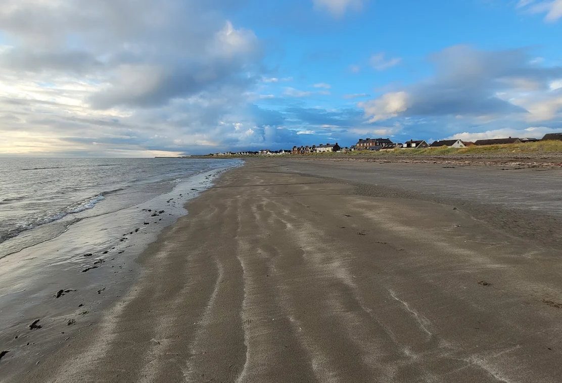
Girvan sits at the hinge of two very different coasts, and that is the most useful thing to understand before planning anything.
North, the Ayrshire shore is gentle and populated: golf links, castles, Burns country, sandy bays and the resort towns of Ayr, Prestwick and Troon. Everything is close together and there are places to eat.
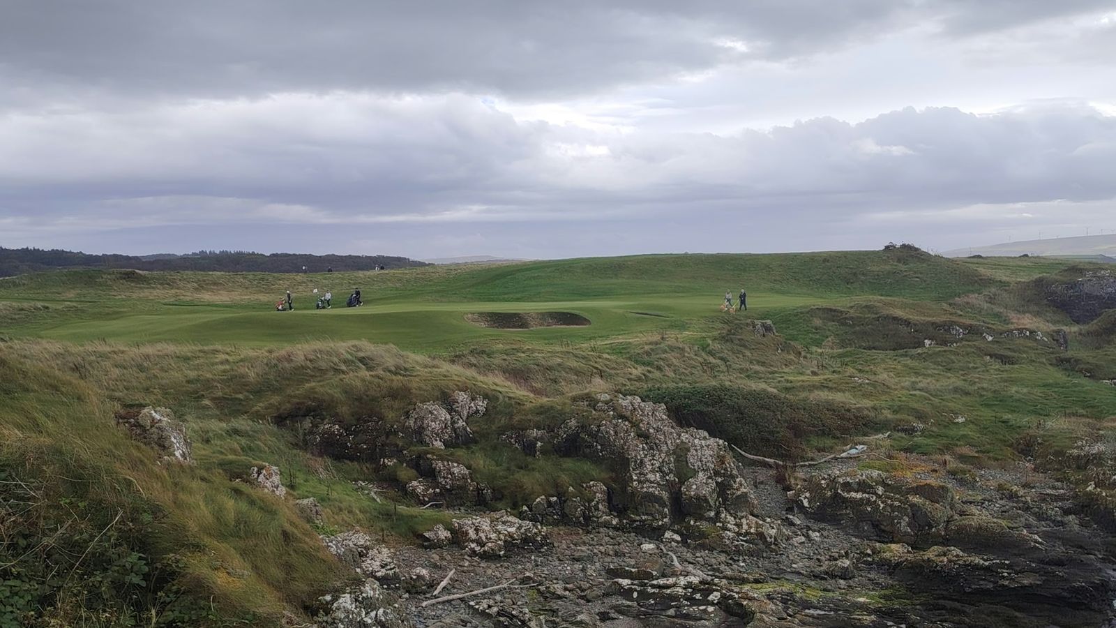
South, the Carrick coast turns wild within four miles: cliffs at Kennedy's Pass, the shingle and ancient geology at Lendalfoot and Ballantrae, then the ferry ports at Cairnryan and the long peninsula of the Rhins beyond.
Inland, the Stinchar and Girvan valleys run up into some of the emptiest country in southern Scotland, and beyond them the Galloway hills and forest.
Choosing by how far you want to drive
| Time | Where |
|---|---|
| Under 20 minutes | Turnberry, Maidens, Kirkoswald, Maybole, Lendalfoot, Dailly, Barr |
| 20 to 45 minutes | Ballantrae, Colmonell, Dunure, Straiton, Alloway, Ayr, Barrhill |
| 45 to 90 minutes | Prestwick, Troon, Cairnryan, Stranraer, Newton Stewart, Portpatrick, Wigtown |
Without a car
Girvan is on the Glasgow–Stranraer railway, and buses run north and south along the A77. Ayr is half an hour by direct train, Stranraer thirty-five minutes, Maybole fifteen, and the Stagecoach 60 covers Kirkoswald, Maidens and Alloway. See our car-free day out.
Each page below gives what is there, how far it is and who it suits. For these built into routes, see day trips.