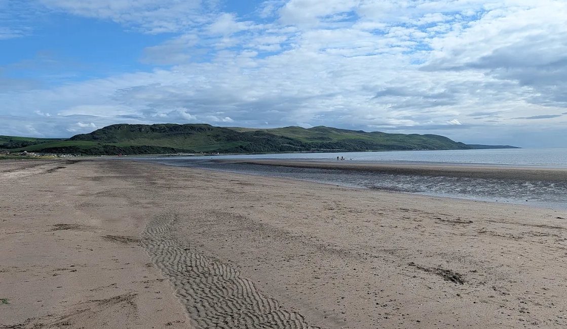
Balcreuchan Port is a small, steep-sided cove on the north side of Bennane Head, on the coast between Lendalfoot and Ballantrae and about 11 miles south of Girvan. Most people who have heard of it have heard of it for the wrong reason: the cave at the back of the beach is the one traditionally pointed out as Sawney Bean's. The cove deserves better. It is one of the few places in Britain where you can stand on the floor of a vanished ocean, and the rocks on either side of you are, geologically speaking, spectacularly out of place.
The name
Port on this coast is the old word for a small natural landing place rather than a built harbour, and it turns up repeatedly along the Carrick shore. Balcreuchan is generally read as containing baile, a farmstead — there is a farm of the same name on the hill above. The second element is less settled; crìochan, meaning borders or boundaries, is one suggestion, but we have not found an authoritative derivation and would treat it as a guess rather than a fact.
A piece of the ocean floor
The rocks here belong to the Ballantrae Complex, and they are the reason geologists come from a long way to stand on this beach.
Ocean floor is normally destroyed. It is made at mid-ocean ridges and swallowed back down at subduction zones, so very little of it survives on land. Occasionally, when an ocean closes, a slice gets scraped off and shoved up onto the edge of a continent instead. Geologists call that obduction, and the resulting slab an ophiolite. The Ballantrae Complex is one, and Balcreuchan Port is one of the best places in it to see the pieces in contact with each other.
Two rock types matter here. The first is pillow lava: lava erupted underwater chills instantly into a rubbery skin, the next lot bulges out through the skin, and the result is a stack of bolsters, best seen in cross-section in a cliff face. The lavas at Balcreuchan Port are described as aphyric — no visible crystals — because they cooled far too fast for any to grow. The second is serpentinite, a green, soapy, slippery rock that began as mantle peridotite several kilometres below the sea bed and was altered by seawater working down into it.
Standing between the two, you are looking at the top of an ocean crust and the mantle underneath it, brought together by a fault and tipped onto the Ayrshire shore. The fault itself runs across the cove, separating the serpentinite from the crustal rocks, and passes in front of the cave mouth — the cave is cut into basalt. Towards the foreshore a prominent igneous dyke cuts through the softer serpentinite, a later injection of molten rock into a crack, standing proud now because it weathers more slowly than the rock around it.
The timings are not precise, but they are broadly agreed. Published radiometric ages for the complex include figures of 501 ± 12 and 476 ± 14 million years, and the obduction itself is usually put at around 470 million years ago. That event was part of the arc–continent collision known as the Grampian phase of the Caledonian Orogeny — the long, slow closure of the Iapetus Ocean that eventually joined Scotland to England. The pillow lavas themselves are of island-arc type, so this was an ocean with volcanoes in it, not a quiet abyssal plain.
The stretch is protected as part of the Girvan to Ballantrae Coast Section SSSI (87.41 hectares, re-notified 31 March 1989) and as a Geological Conservation Review site. The SSSI citation names Balcreuchan Port specifically for the quality of the exposure, describing the pillow lavas and breccias as being in faulted contact with the serpentinites. Look, photograph, and leave the hammer in the car — the value here is in the exposure itself.
Two caves, and they are not the same cave
This trips up almost everyone who writes about the place, so it is worth being plain.
Sawney Bean's Cave (NX 099 876) is at the back of Balcreuchan Port itself. It is a raised sea cave, cut into the pillow lavas when the sea stood higher than it does now, and it is dry inside. A roomy winding passage runs in and forks perhaps twenty metres from the entrance. Past the mouth it is completely dark: take a torch. The entrance is on the shore and reachable at low tide.
It is also called Balcreuchan Cave, which is the less misleading name. Be warned that the walls inside carry a great deal of graffiti — this is a well-visited cave, not an undisturbed one.
Bennane Cave, also known as Snib's Cave (NX 091 861), is a different cave about a mile and a half south along the coast, near the line of the old road. It is around thirty metres deep and it has been lived in — mortared masonry, a blocked-up window, a fireplace. It is regularly described as Sawney Bean's Cave. It is not.
The Sawney Bean story — the cannibal family, the hundreds of murdered travellers, the mass execution at Edinburgh — first appears in eighteenth-century English chapbooks, has no contemporary record behind it, and is almost certainly invention. The Bennane Head page covers the legend and the hermit who really did live here.
The fishing station
Balcreuchan Port was a working landing place into the nineteenth century, a minor fishing harbour serving the farms on the hill above. On the earliest Ordnance Survey mapping a walled enclosure of roughly a third of an acre sits above the beach with small structures inside it, usually read as fishermen's huts and a yard for boats and gear. The lines of the walls can still be picked out.
The enclosure sits on the raised beach on the east side of the bay — an old shoreline left stranded above the present one when the land rebounded after the ice sheets melted, the same process that lifted the cave clear of the sea. The comparison usually drawn is with the surviving fishery buildings at Carleton, further up the coast, where the same nineteenth-century mapping shows stones cleared from the beach to make a channel for boats. The Balcreuchan Burn reaches the sea just east of the port; the place names along it suggest a more substantial flow at one time than the trickle there now.
It is a useful corrective. A cove with a shingle beach, shelter from the south and fresh water running into it was a resource long before it was scenery.
One more thing grows here that is worth knowing about: the headland above the old enclosure carries a stand of aspen (Populus tremula), a clone spreading along the summit ridge and an uncommon tree in this part of Scotland.
Getting down — and why we do not recommend it
This site says elsewhere, on the Ballantrae to Lendalfoot walk and the wild coast pages, that we would not recommend attempting the descent to the caves. That still stands, and it is worth saying plainly here rather than burying it: the path is steep and loose, the tide cuts the shore off, and people have needed rescuing from this cove.
The view of the cove from the Bennane Head viewpoint is free, safe and takes five minutes, and for most visitors that is the right way to see it. The rest of this section is for people who are going anyway.
- Park at the Bennane Head viewpoint on the A77, southbound side. There are no facilities of any kind.
- The path down was cut in 1978 by the old Kyle and Carrick District Council to give safe access. It has not been maintained since, and it is steep, eroded and slippery in the wet.
- A landslip was reported at the cliff top in August 2023. We have not been able to confirm the current state of the ground, so treat the upper section as unstable, look at it properly before committing, and turn back if it does not look right.
- Tides matter. The cave entrance and the lower beach are reachable at low water and cut off as the tide makes. Check the tide table for Girvan and leave yourself a generous margin — this is not a shore to be caught on.
- Wear boots, carry a torch for the cave, and do not go alone.
- Serpentinite is genuinely slippery when wet. The same soapy texture that makes it interesting underfoot makes it treacherous.
- Port Vad, the next inlet along, is a harder descent again and is best left to people who know it.
Seeing it from the path
The Ayrshire Coastal Path stage from Ballantrae to Lendalfoot runs along the ground above the cove — about 10 km / 6.25 miles, allow three and a half to four hours, graded 2 out of 5 for difficulty. There are two locked farm gates to climb over on the way, and a signed low-tide alternative along the shore further on. That walk, plus the viewpoint, gives you the setting and the scale without the descent.
Combined with Kennedy’s Pass and the Varyag memorial it makes one of the best days on this coast — see the wild coast south day trip.