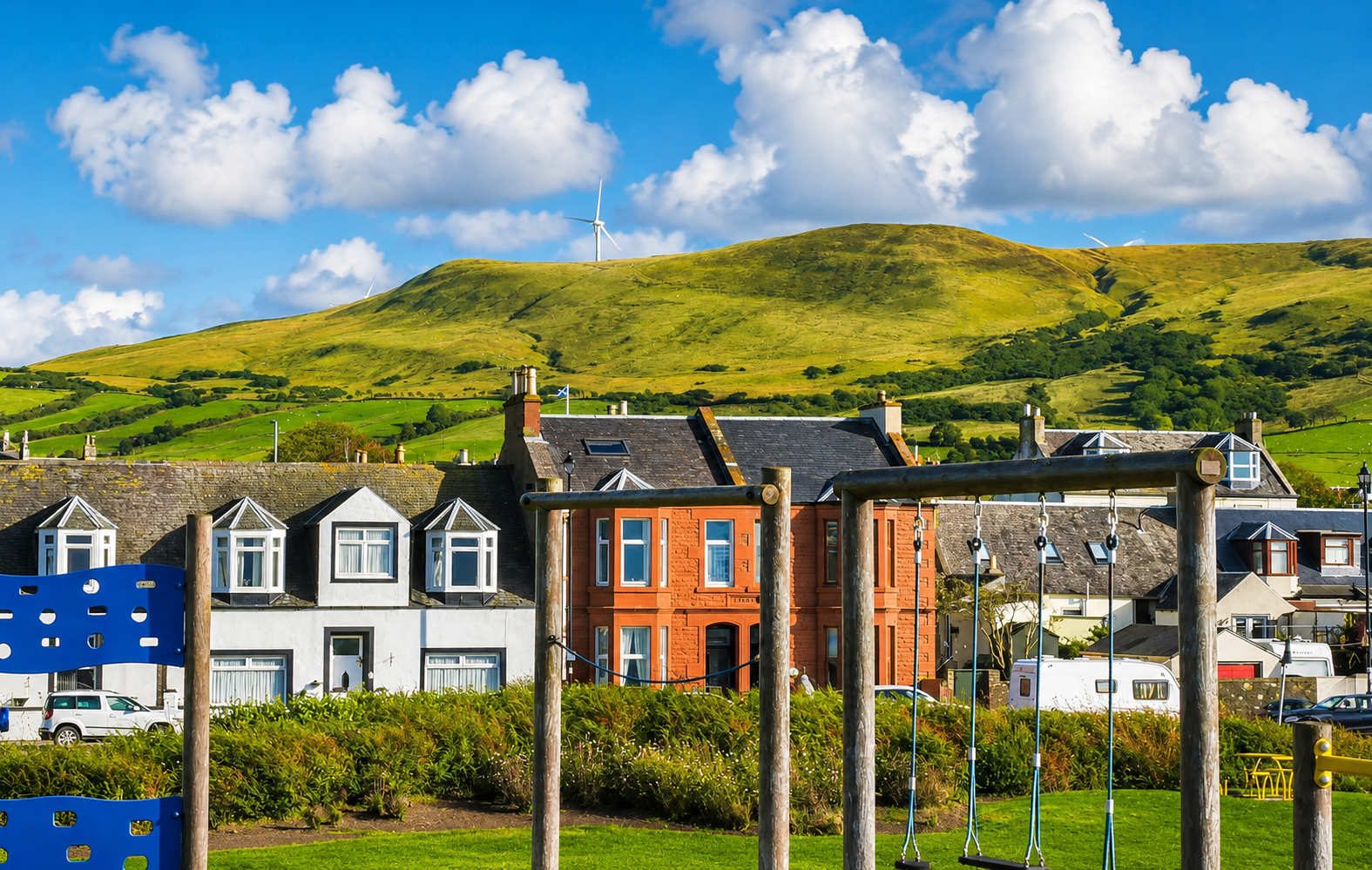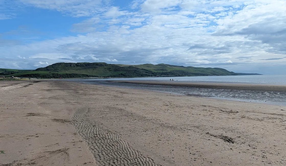
Girvan is not an old town that grew slowly. It is a small fishing village that multiplied sevenfold in sixty years, driven by herring, smuggling, cotton and Irish immigration, then reinvented itself twice more — as a Victorian seaside resort, and as an industrial town. Almost everything you can see was built in that rush.
The name and the river
The town takes its name from the river it stands on. The Gaelic is Inbhir Gharbhain — the mouth of the Garvan — and the river name is usually read as gearr abhainn, the short river, though a Brythonic origin has also been argued. Older documents give the town as Garvan and, in a decree of 1666, as Grissan.
The reason a town is here at all is the river mouth. It is one of the very few safe havens on the whole coast between Ayr and Stranraer, and a boat could get out of it on almost any wind.
Bruce and the hill of justice
The earliest thing most people know about Girvan is that Robert the Bruce is said to have held court here in 1328 and granted the town its first charter. He was Earl of Carrick as well as king, and had grown up at Turnberry six miles up the coast, so this was his own country.
The site was Knockcushan — 'the hill of justice' — the mound behind the harbour where the burgh's courts sat in the open, in the way Scottish justice was done long before there were courthouses. A memorial stone stands there today in Knockcushan Gardens.
The charter of 1668
The formal beginning came much later. In 1668 Charles II granted a charter to Thomas Boyd of Penkill and Ballochtoul, confirming his right to erect the village of Garvan into a burgh of barony and to build a seaport. Boyd's family seat was Penkill Castle, five miles up the valley — so the town was, in effect, an estate development.
The privileges took a long time to mean anything: the burgh did not properly govern itself until around 1785.
Four streets and two hundred people
For most of its existence Girvan was tiny. In the seventeenth century perhaps two hundred people lived in four streets clustered at the river mouth — Knockcushan Street, Bridge Street, High Street and Old Street — in stone cottages under thatch. That grid is still legible on the ground, and walking it is the best ten minutes of local history in the town.
Herring, salt and smuggling
The first boom was fish. The Statistical Account of 1792 records that a considerable herring fishing developed at the river mouth, and that the crowds it drew and the money it made caused 'a sudden and considerable extension of the town'.
The second was less legal. Smuggling on this coast was heavy and open — small half-decked boats running salt from Ireland and moving goods along the shore — and the Account is candid that it 'contributed, in no small degree, to the increase of the town'. The wild coast south towards Kennedy's Pass and Bennane Head was made for it, and it is the same shoreline that produced the legend of Sawney Bean, which is almost certainly an eighteenth-century invention rather than a memory of anything real.
The Stumpy Tower, the squat jail and courthouse on Dalrymple Street, went up in 1827 — a fair indication of what the burgh thought it was dealing with.
The weavers, and the Irish town
Then came the change that made modern Girvan.
When Glasgow mechanised cotton spinning, it needed hand weavers in enormous numbers, and towns across the south-west filled up with them. Girvan had about 100 looms at the end of the eighteenth century. By the 1840s it had around 2,000 weavers.
The population figures tell it plainly:
| Year | Population |
|---|---|
| 1791 | 1,012 |
| 1831 | about 6,000 |
| 1851 | 7,319 |
| Today | about 6,400 |
Girvan was larger in 1851 than it is now.
And here is the fact that surprises almost everyone, including many Girvanites: by 1831 roughly three-quarters of the town's six thousand people were Irish-born. Girvan was, for a generation, an overwhelmingly Irish town — weavers who had crossed from Ulster for work, arriving well before the Great Famine of 1846–50 pushed a second and more desperate wave into Scotland's ports.
They settled south of the old town in Piedmont, now Glendoune, in streets whose names still say it — Ballybroke Street — and in Wilson Street, in cottages contemporaries called mean. Greenside overlooked the fields where the cloth was bleached before going to the mills at Paisley and Glasgow. Dalrymple Street was the link between the old town round the kirk and the new weaving quarter, and it is why the town's spine runs the way it does.
That inheritance is the reason Girvan has the Catholic parish it has, and a good part of the reason it has the music it has: the folk festival, founded in 1975, sits on top of two centuries of Irish tradition in the town.
Handloom weaving then collapsed, as it did everywhere, and the town had to find something else.
The harbour
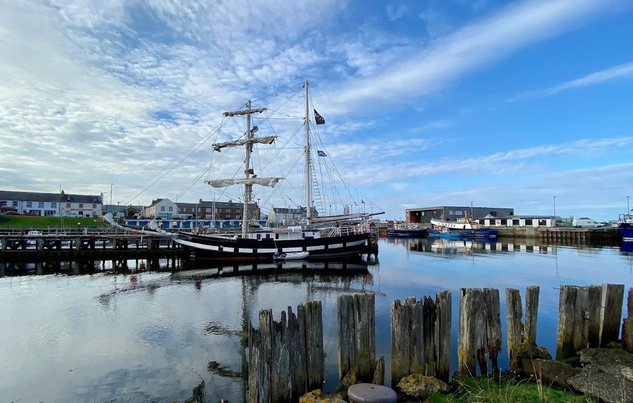
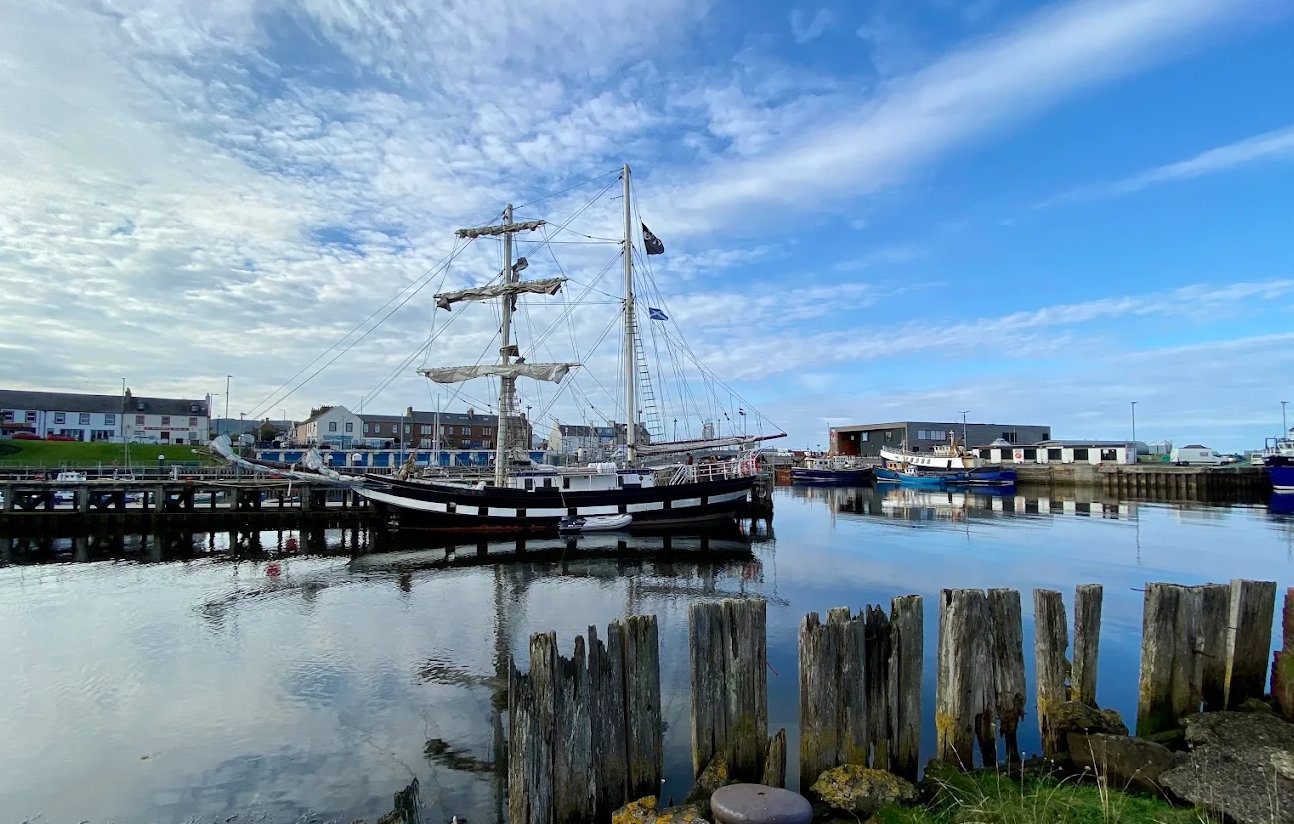
The harbour grew through the same century. It was enlarged in the early 1800s under Sir Hew Dalrymple Hamilton, exported coal from the pits at Dailly, and landed fish. A new breakwater and pier were added in 1881.
It also sent people away: emigrant ships sailed from here, the St George carrying Girvan people to Canada in 1867.
Fishing was at its height through both world wars and up to the mid-1960s, and although the fleet is a fraction of what it was, it never disappeared. Alexander Noble & Sons established their boatyard on the river in 1946 to serve the Clyde fishing industry, and are still building and repairing boats there.
The modern harbour is largely a story of maintenance: a screen jetty in 1968, the north breakwater rebuilt in 1988, a yacht pontoon in 1992, major work on the south pier in the mid-1990s, and South Ayrshire Council taking over its administration in 1996.
The railway and the resort
The Maybole and Girvan Railway opened in 1860, connecting the town to Glasgow, and with a steam packet service it turned Girvan into a holiday town almost overnight.
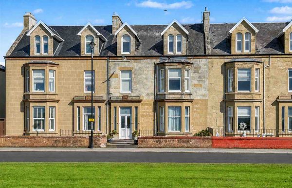
Nearly everything a visitor now thinks of as characteristic dates from that period: the promenade, the seafront villas, the boating pond, the putting greens, the shelters. So do the town's grandest buildings — the North Parish Church spire of 1883, and the red sandstone McKechnie Institute of 1888–89, a library, reading room and museum given to the town under a bequest from the McKechnie brothers, Thomas and Robert, and designed by the Glasgow firm of McKissack & Rowan.
One curiosity of the resort years: the Gray family, Glasgow fossil collectors, holidayed here every summer from 1855 to 1941 and built collections from the Girvan shore that are still held by the Natural History Museum. The rock around Girvan is internationally important, and the Victorians knew it.
The twentieth century
Two wars passed over the town — the golf courses at Turnberry became airfields in both, and the coast filled with defences.
The decisive change came in 1963, when William Grant & Sons bought a wartime munitions site north of the town and built a grain distillery on it in nine months. The Girvan distillery is now one of the largest whisky-making sites in Scotland, later joined by the Ailsa Bay malt distillery and the Hendrick's Gin Palace. Nestlé's factory on the same estate makes the chocolate crumb that goes into KitKat.
Between them the distillery and the factory are the town's biggest employers, and they are why Girvan has an industrial estate at all.
The town's swimming pool closed in 2009 and was demolished; the Quay Zone opened on the same harbour site in April 2017, closed for two years after storm damage, and reopened in January 2026.
Girvan today
The population is around 6,400 — still below its 1851 peak. The town has turned deliberately back towards its heritage: the 'Girvan's Story' regeneration project aims to restore the Stumpy Tower, the McKechnie Institute and a run of Dalrymple Street buildings by 2030, the folk festival is among the longest-running in Scotland, and the harbour is once again the front door rather than the back.
Where to see it
- Stumpy Tower — the 1827 jail, four floors, the original cells. Free.
- McKechnie Institute — museum and gallery, local history, fossils and Ailsa Craig. Free.
- Knockcushan Gardens — the hill of justice and the Bruce memorial.
- The old four streets — Knockcushan, Bridge, High and Old Street, the seventeenth-century town.
- Glendoune and Ballybroke Street — the weavers' quarter, and the Irish town.
- The town heritage trail — an hour on foot, free leaflet from the Tourist Information Point.
- The Kennedys of Carrick — the family that ran this district, and their castles.
- Crossraguel Abbey — the medieval abbey that held much of Carrick, including Ailsa Craig.