Visit GirvanGirvan holiday home
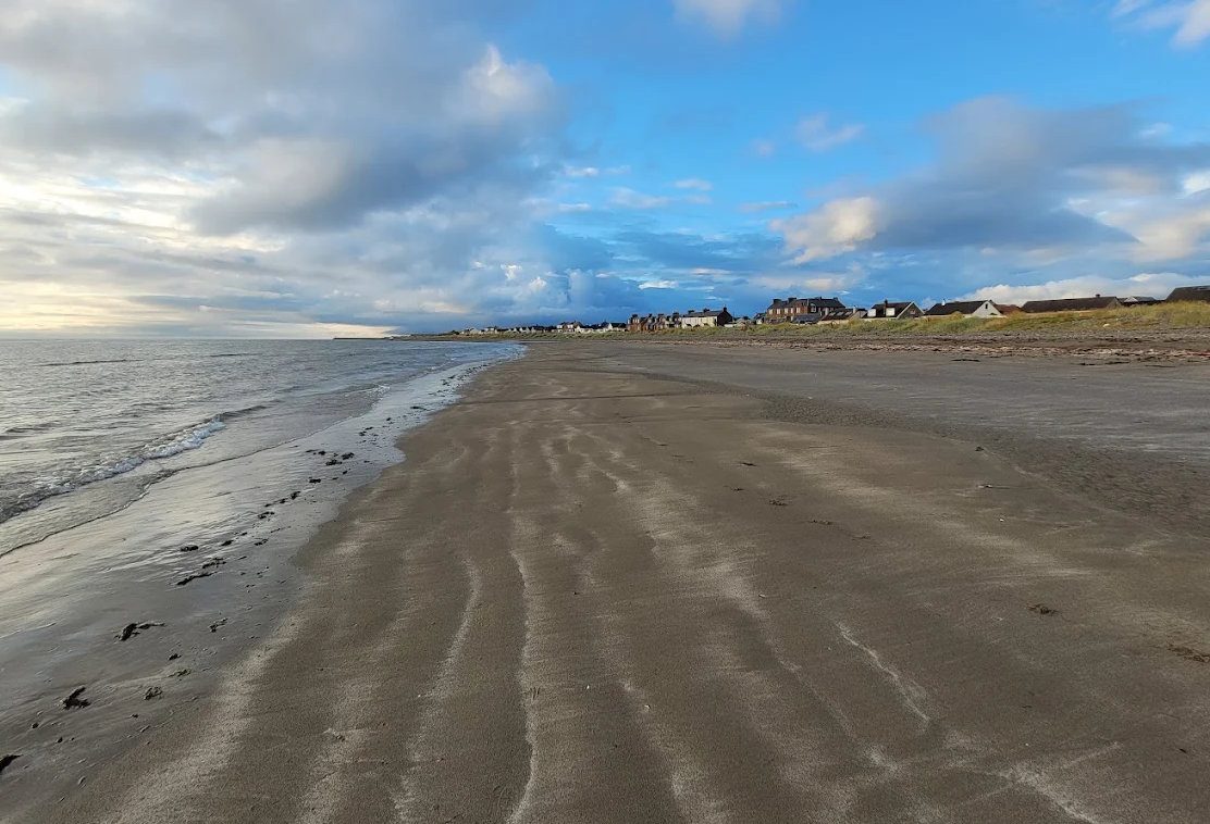
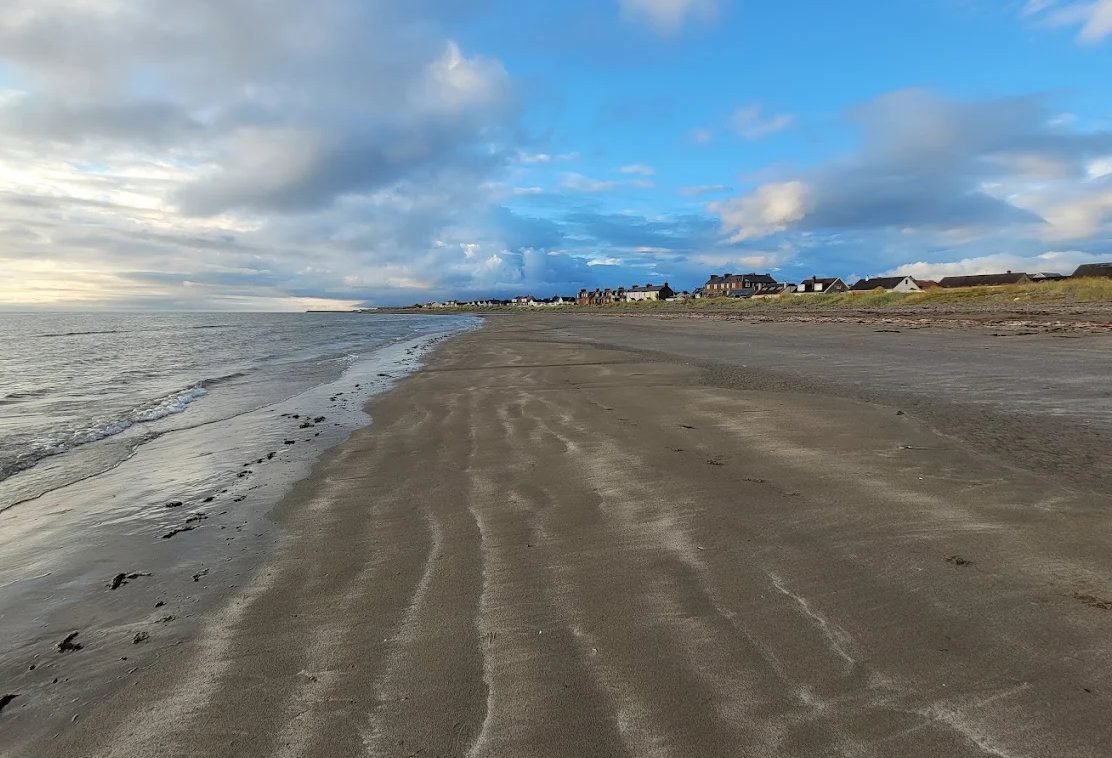
Winter dusk on Girvan beach

Village · Stinchar valley

Barr

A picture-book village at the foot of the Galloway hills.

WalksQuietDog-friendly

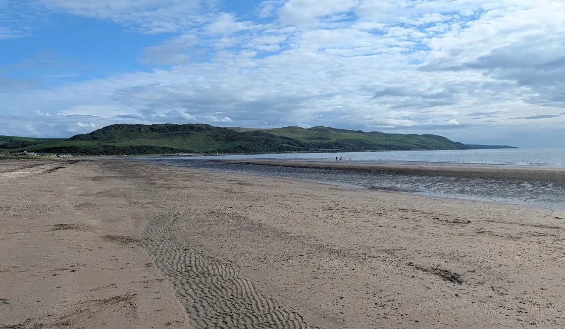
Pictured: Winter dusk on Girvan beach — a general view of the area, not of this place.

Barr lies in a hollow where the Gregg Water meets the Stinchar, eight miles from Girvan by the B734, and it is among the most attractive villages in Ayrshire: whitewashed cottages, a bridge, a church and an inn, set in a bowl of steep green hills with forestry above. It is a conservation village, and it looks it. There is nothing to do here in the visitor-attraction sense, which is the whole appeal.

Walking

This is the main event, and the network from the village is genuinely good.

  • The Changue forest trails — waymarked routes of varying length through the plantation above the village.
  • The Devil's Trail, up the Gregg valley to the Devil's Elbow, named for a legend about a local laird who is supposed to have wrestled the Devil in these woods and won.
  • Auchensoul Hill to Girvan — a full-day hill crossing linking the village to the town, and the best way to arrive in Barr.
  • Longer routes run east into the Galloway Forest Park and towards Loch Trool and Bruce's Stone.

The Nick of the Balloch

South from Barr the road climbs to about 1,280 feet over the Nick of the Balloch and drops down to Glentrool — a single-track road with passing places, sheep on it, and a view from the top over the whole of the Galloway hills. It is one of the best drives in southern Scotland and a serious, rewarding cycle climb. It is not the road for a wide vehicle or a nervous driver, and in winter it can be blocked by snow.

Practical notes

Eight miles and about 20 minutes from Girvan on the B734 up the Stinchar. The village inn has offered rooms and food, but opening in a village this small varies — check before planning a meal around it. There is no fuel and limited mobile signal. Parking is on the street, so park considerately: this is a small village and people live here.

Barr sits on the Stinchar valley loop from Ballantrae through Colmonell and Pinwherry, which is the ideal way to see this country in a half-day drive.
Questions visitors ask

Frequently asked

How far is Barr from Girvan?

About 8 miles south-east on the B734 up the Stinchar valley, roughly 20 minutes by car.

What walks are there at Barr?

The Changue forest trails above the village, the Devil's Trail up the Gregg valley to the Devil's Elbow, and the full-day hill crossing over Auchensoul Hill to Girvan. Longer routes run east into Galloway Forest Park.

What is the Nick of the Balloch?

The single-track road climbing to around 1,280 feet from Barr over to Glentrool. It is one of the finest drives and cycle climbs in southern Scotland, but it is narrow, has passing places rather than width, and can be blocked by snow in winter.

Is there a pub in Barr?

The village inn has offered food and rooms, but opening hours in a village this size vary considerably — check before planning a meal around it.

Is Barr worth visiting?

If you like quiet villages and forest walking, very much so. It is one of the prettiest places in Ayrshire and the walking from the village is the best in inland Carrick.

Is Barr good for dogs?

Yes — miles of forest tracks and hill paths from the village, though watch for sheep on the open ground and keep dogs under control near livestock.

What is the Devil's Trail?

A path up the Gregg valley from Barr to the Devil's Elbow, named after a local legend in which a laird wrestled the Devil in these woods and came off better.

Keep exploring

Related pages

Girvan beach looking south

Colmonell

Colmonell is a conservation village in the Stinchar valley 11 miles south of Girvan — Kirkhill and Craigneil castle ruins, Knockdolian the 'false Craig', a church with Burne-Jones glass, salmon fishing and the scenic valley road from Ballantrae to Barr.

11 miles · 20 minHeritageFishing
Girvan beach at dusk

Pinwherry

Pinwherry is a hamlet on the A714 nine miles south of Girvan where the Duisk joins the Stinchar — a 16th-century Kennedy castle ruin, the crossroads for Colmonell, Barr and Barrhill, and the way to the Nick of the Balloch road and Glentrool.

9 miles · 15 minQuietScenic drive
Girvan harbour

Galloway Forest Park

Britain's largest forest park — 300 square miles, 250 lochs, the Merrick and the UK's first Dark Sky Park. How to reach it from Girvan by the two quiet back roads, what is at each visitor centre, and what is open in 2026.

17 miles · 35 minFree (parking charges)Outdoor
Girvan beach at dusk

Bruce's Stone, Loch Trool

A granite boulder above Loch Trool marking Robert the Bruce's first victory in 1307, in the heart of Galloway Forest Park — with the 5.5-mile loch circuit, the path to the Merrick and some of the darkest skies in Europe. 45 minutes from Girvan.

26 miles · 45 minFreeOutdoor
Byne Hill from Girvan beach

Dailly

Dailly is a former mining village 6 miles inland from Girvan on the B741 — the Old Dailly kirkyard with its lifting stones and Covenanter graves, Pre-Raphaelite Penkill Castle, the Bargany estate gardens, riverside cycling and the road on to Straiton.

6 miles · 12 minHeritageCycling
Girvan beach looking south

Walking

The best walks within an hour of Girvan, graded honestly — the Ayrshire Coastal Path stages, the short steep climb up Byne Hill, the Grey Hill ridge, Culzean's woodland trails and the Galloway hills.

CoastHills