Visit GirvanGirvan holiday home
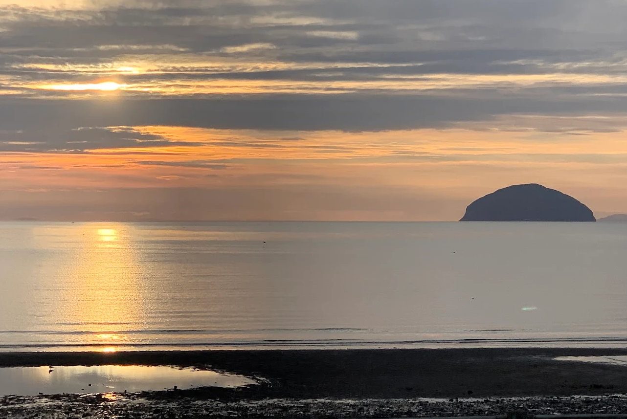
Sunset over Ailsa Craig

Coastal walk · Moderate/difficult

Ballantrae to Lendalfoot Walk

Shingle, caves, legends and Ailsa Craig for company the whole way.

Free6.5 milesModerate/difficult

Pictured: Sunset over Ailsa Craig — a general view of the area, not of this place.

This is the toughest of the coastal path stages near Girvan and the most atmospheric. Six and a half miles from Ballantrae to Lendalfoot, with Ailsa Craig offshore the entire way and a genuine sense of being on a wild edge of the country.

The route

From Ballantrae's old herring harbour the route follows the beach north for about three miles below the raised beach cliffs — the old shoreline from when sea levels were higher, now standing back from the water with the modern beach below it. This is easy going at low tide on firm sand and heavy work at high tide on loose pebbles, which is the single biggest factor in how long this walk takes you.

The path then climbs over Bennane Head, the headland that divides the two villages, with the Sawney Bean caves in the cove of Balcreuchan Port below. The legend of the cannibal clan has almost no historical basis, and we would not recommend attempting the descent to the caves — it is steep and loose, the tide cuts the shore off, and people have needed rescuing from it.

Beyond the headland there is a stretch of roadside verge along the A77 before the path drops back to the shore and runs into Lendalfoot, finishing at the Varyag memorial and its free car park.

What to know

Check the tide. On a rising or high tide the beach section is hard work and parts can be awkward; on a falling tide it is a pleasure. This makes more difference here than on any other local stage.

The roadside section is on a fast road with no pavement, and it is the least pleasant part of the walk. Walk facing traffic, keep well in, and take particular care with children and dogs.

Boots. Pebbles and wet rock, and there is no shelter anywhere on the route. Carry water and food — there is nothing between the two villages.

Getting back

Buses run along the A77 between Ballantrae, Lendalfoot and Girvan, but only every two to three hours — this is the stage where getting the timetable wrong costs you most. Check before you go, and consider walking from Lendalfoot southwards instead if the times suit better.

Parking at The Vennel in Ballantrae and free at the Varyag memorial. See the Ayrshire Coastal Path for the neighbouring stages — Lendalfoot to Girvan continues north over the old coach road.
Questions visitors ask

Frequently asked

How long is the Ballantrae to Lendalfoot walk?

About 6.5 miles, or three hours, though the beach section takes considerably longer at high tide when the pebbles are loose.

How hard is the walk from Ballantrae to Lendalfoot?

Moderate to difficult. Three miles of beach that is easy at low tide and heavy at high tide, a climb over Bennane Head, and a stretch of roadside verge on a fast road.

Can you visit Sawney Bean's cave on this walk?

We would not recommend it. The descent is steep and loose, the tide can cut off the shore, and people have needed rescuing. The legend also has almost no historical basis.

How do you get back from Lendalfoot?

Buses run along the A77 between Lendalfoot, Ballantrae and Girvan, but only every two to three hours. Check the timetable before setting off — this is the stage where getting it wrong costs most.

Where do you park for this walk?

The Vennel car park at Ballantrae for the start, and there is free parking at the Varyag memorial at Lendalfoot at the finish.

Is there anywhere to eat on the route?

No — there is nothing between the two villages, and no shelter. Carry water and food.

Does the tide affect this walk?

More than any other local stage. Three miles of it are on beach that is firm sand at low tide and loose pebbles at high tide.

Keep exploring

Related pages

Girvan harbour

Sawney Bean's Cave

Bennane Head, 11 miles south of Girvan, is the headland where the legendary cannibal Sawney Bean supposedly lived. The viewpoint car park, the abandoned old road, the hermit's cave and how to find the cave safely.

11 miles · 18 minFreeOutdoor
Sunset over Ailsa Craig

Balcreuchan Port

Balcreuchan Port is the cove on the north side of Bennane Head, 11 miles south of Girvan — Sawney Bean's Cave, a vanished fishing station, and one of Britain's best exposures of obducted ocean crust. How to get down, and the tide and landslip warnings.

11 miles · 18 minFreeOutdoor
Girvan beach and Byne Hill

Ballantrae

Where the Stinchar meets the sea — a shingle spit and lagoon full of birds, a shattered Kennedy castle above the bridge, a five-star castle hotel two miles south, and the last village before the road turns inland.

13 miles · 20 minBeachWildlife
Girvan beach at dusk

Lendalfoot to Girvan walk

The classic Girvan walk — bus out to Lendalfoot, walk home along a shore made of ancient sea bed, then climb the abandoned coach road above Kennedy's Pass for the best view on the coast. Route, timings, tides and the two road crossings.

7 miles · 12 minFreeModerate
Winter dusk on Girvan beach

Varyag Memorial

A bronze memorial with a Russian Orthodox cross above the shore at Lendalfoot, marking where the Imperial Russian cruiser Varyag was wrecked in 1925. Free car park, big views to Ailsa Craig, and the start of the coastal path to Girvan.

7 miles · 12 minFreeOutdoor
Byne Hill from Girvan beach

Ayrshire Coastal Path

The Ayrshire Coastal Path runs 100 miles from Glenapp to Skelmorlie and the wildest stages are on Girvan's doorstep. The four southern stages explained, with distances, terrain, bus links back and what to watch for on the tide.

FreeWaymarked