Visit GirvanGirvan holiday home
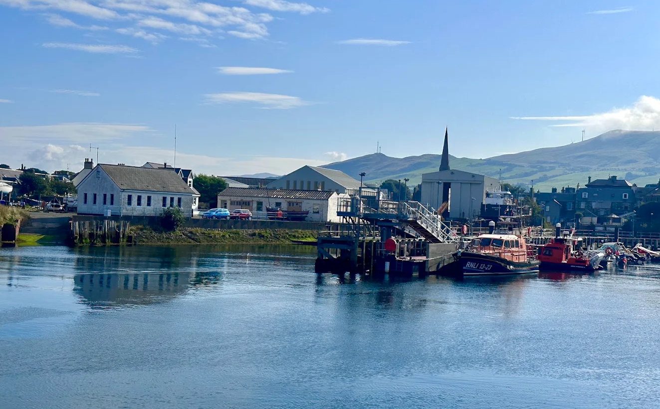
The North Parish spire from Girvan harbour

Hill walk · Moderate

Grey Hill and the Carrick Coastal Ridge

The high route home from Lendalfoot, along the spine of the coastal hills.

Free5.5 milesModerateRidge

Pictured: The North Parish spire from Girvan harbour — a general view of the area, not of this place.

Where the coastal path takes the old coach road over Pinbain Hill, this route keeps climbing. It is the high alternative to the shore walk between Lendalfoot and Girvan, and on a clear day it is the better of the two — you get the same coastline, but from six hundred feet above it.

The route

From near Kennedy's Pass, climb from Pinbain up onto Grey Hill, the highest point at 297 metres. From there the route runs north along the crest over Fell Hill and Mains Hill before dropping onto Byne Hill and down into Ainslie Park at the south end of Girvan promenade.

About five and a half miles, two and a half to three and a half hours, and it is a linear route — so the sensible way to do it is to take the bus south to Lendalfoot in the morning and walk home.

The view

This is why you climb. The ridge runs parallel to the coast with the whole Firth of Clyde laid out below: Ailsa Craig offshore, Arran to the north, Kintyre beyond, and on the clearest days the Antrim coast. Inland the Carrick hills roll away towards Galloway. It is a bigger view than Byne Hill alone because you hold it for three miles rather than ten minutes.

What to know

The ground is grass and track with pathless sections, and it is boggy in places — the local description of low 'sogginess' is doing some work. After wet weather expect to get your feet wet. It is not technical or exposed, but there is no constructed path, so carry a map and compass and be prepared to navigate if the cloud comes down. In poor visibility there is nothing to see and the going is easy to lose.

This is open hill and working farmland with sheep. Keep dogs on leads near livestock, close gates and follow the Scottish Outdoor Access Code.

There is no shelter, no water and no escape route once you are on the ridge apart from dropping to the A77. Boots, waterproofs and food.

Combining it

The obvious pairing is with the shore: walk out along the coastal path from Lendalfoot one day and take the ridge the next, and you will have seen this stretch of coast from both ends. See walking near Girvan.
Questions visitors ask

Frequently asked

How long is the Grey Hill ridge walk?

About five and a half miles, taking two and a half to three and a half hours, from near Kennedy's Pass to Ainslie Park in Girvan.

How high is Grey Hill?

297 metres, or 974 feet — the highest point on the coastal ridge behind Girvan.

How do you do the Grey Hill ridge as a linear walk?

Take the bus south to Lendalfoot in the morning and walk back north over the ridge to Girvan. Buses run along the A77 every couple of hours.

Is there a path along the Grey Hill ridge?

Not a constructed one. It is grass and track with pathless sections and boggy ground, so carry a map and compass and be ready to navigate if cloud comes down.

What can you see from the ridge?

The whole Firth of Clyde — Ailsa Craig, Arran, Kintyre and, on the clearest days, the Antrim coast — held for three miles rather than a single summit view.

Is the Grey Hill ridge suitable for dogs?

Yes, but it is open hill and working farmland with sheep. Keep dogs on leads near livestock and close gates behind you.

How does it compare with the coastal path?

Same coastline, seen from six hundred feet up. The shore route is easier and has the geology; the ridge has the view. Doing both on consecutive days is the ideal.

Keep exploring

Related pages

Byne Hill Walk

Byne Hill

Byne Hill is 214 m of grass and rock two miles south of Girvan, with Ailsa Craig, Arran and Kintyre from the top. Routes, parking, the Craufurd Monument, the livestock, and the access complication nobody mentions.

In GirvanFree4 miles
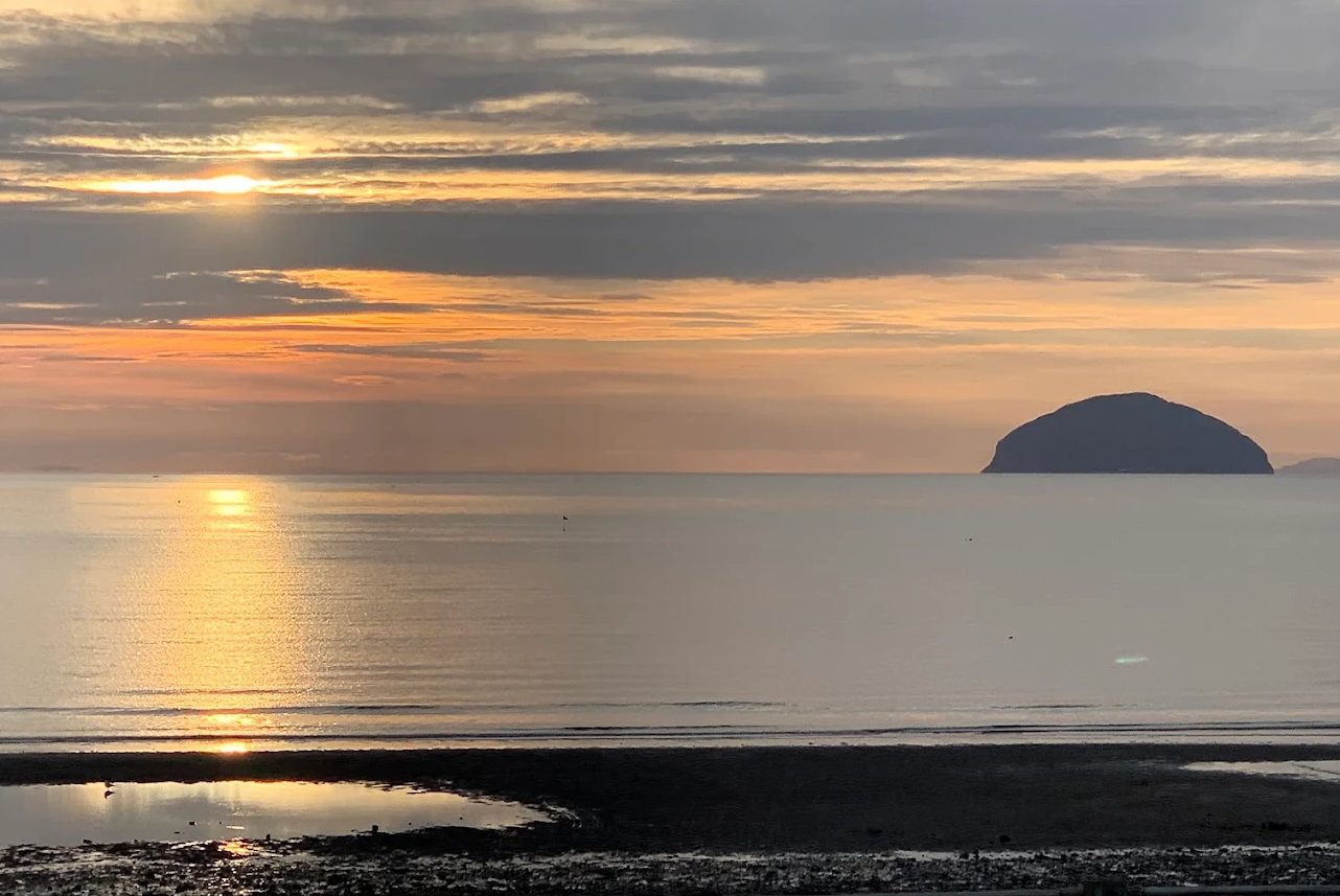
Girvan beach at dusk

Lendalfoot to Girvan walk

The classic Girvan walk — bus out to Lendalfoot, walk home along a shore made of ancient sea bed, then climb the abandoned coach road above Kennedy's Pass for the best view on the coast. Route, timings, tides and the two road crossings.

7 miles · 12 minFreeModerate
Sunset behind Ailsa Craig

Kennedy's Pass

Kennedy's Pass is where the A77 south of Girvan was cut through the cliff above the sea — lay-bys, big views to Ailsa Craig, the old coach road over Pinbain, and a shore of pillow lavas and ancient ocean floor that is internationally important geology.

7 miles · 12 minFreeOutdoor
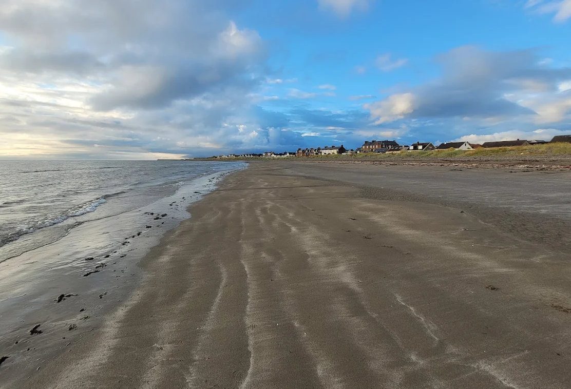
Girvan beach looking south

Walking

The best walks within an hour of Girvan, graded honestly — the Ayrshire Coastal Path stages, the short steep climb up Byne Hill, the Grey Hill ridge, Culzean's woodland trails and the Galloway hills.

CoastHills
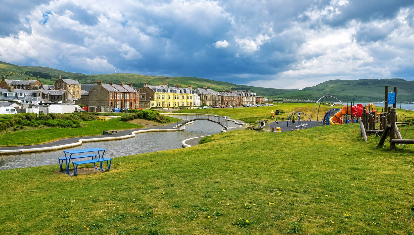
Girvan seafront

Lendalfoot

Lendalfoot is a shore village 7 miles south of Girvan — rocky beaches with world-class geology, the Varyag memorial to a Russian cruiser, Carleton Castle, Ailsa Craig at its closest, and the coastal path back to Girvan over Kennedy's Pass.

7 miles · 12 minWalksGeology
Photography Locations Around Girvan

Photography spots

A west-facing coast with one iconic island on the horizon, two lighthouses, castles on cliffs and Gold Tier dark skies — the best photography locations around Girvan, with timing, light and kit notes.

SunsetsLandscapes