Visit GirvanGirvan holiday home
Girvan harbour

Hill walks · Moderate to strenuous

Shalloch on Minnoch and Cornish Hill

The Galloway Hills without driving round to Glen Trool — two summits from the Straiton side.

FreeHill walkingNavigation needed

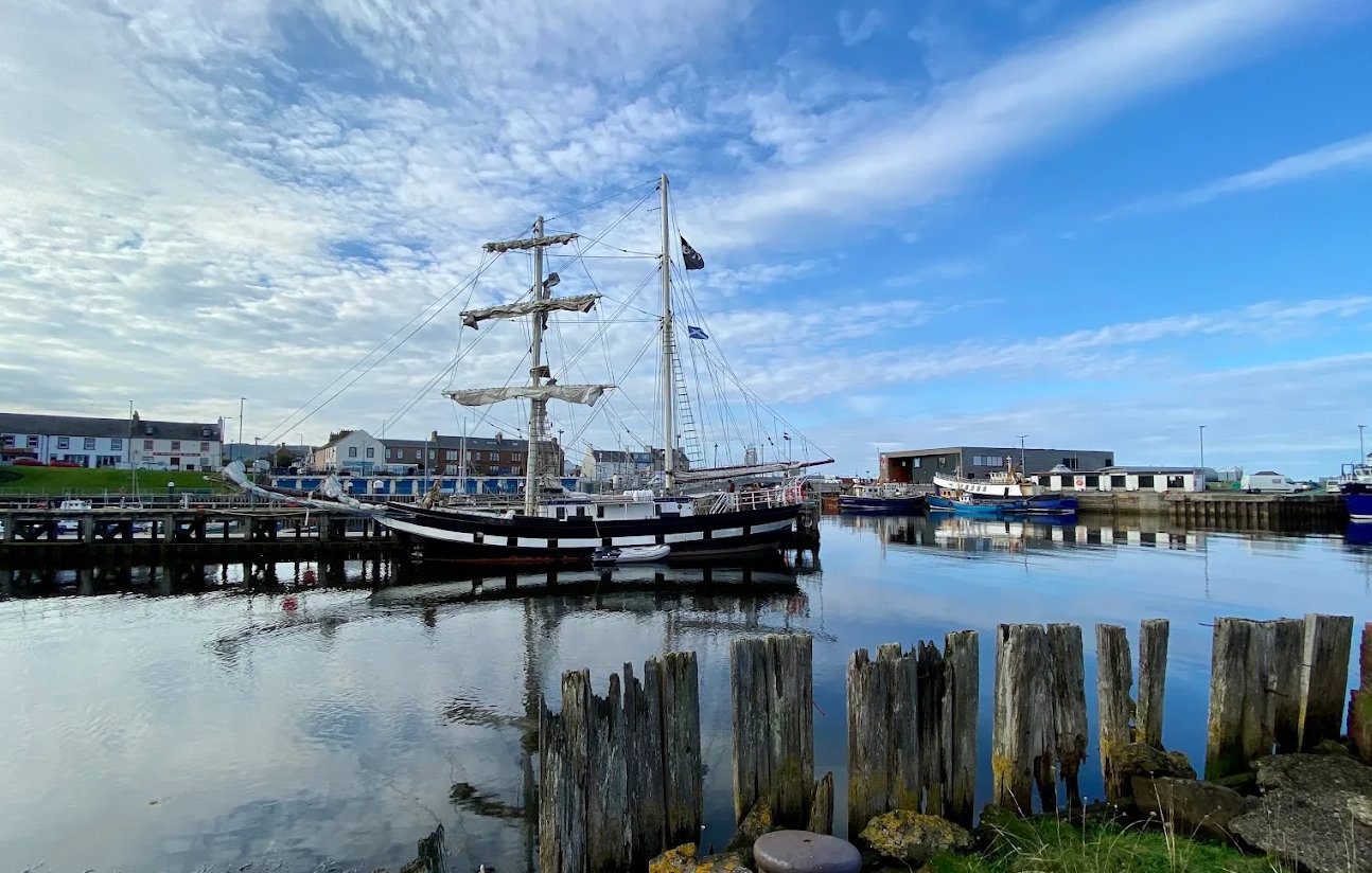
Pictured: Girvan harbour — a general view of the area, not of this place.

Most walkers reach the Galloway Hills from Glen Trool, on the far side of the range. But the northern end is closer to Girvan via Straiton and the Carrick Forest Drive, and two hills up there make satisfying half-days without the long drive round.

Cornish Hill

467 metres, about three miles, two hours. From the Loch Riecawr car park on the forest drive — or from Stinchar Bridge if the drive is closed — a waymarked path climbs out of the trees onto the open hill. Long steep slopes on a firm but rough path, with some rocky sections near the top.

It is the easier of the two and the better introduction to these hills: enough of a climb to feel like a hill day, short enough to do in a morning, and with a fine view over the forest and the lochs.

Shalloch on Minnoch

775 metres, about six miles, four hours. The most northerly summit of the Range of the Awful Hand — the ridge that ends at the Merrick — and a Corbett, which brings a certain kind of walker a long way.

It is the easiest of the range to reach from Ayrshire. Park on the Straiton to Glentrool road and climb from there. The going is rough and boggy in places with no constructed path on the upper section, and the summit plateau is broad and featureless.

The view along the ridge to the Merrick, and out west to Ailsa Craig and Arran, is the reward.

Taking them seriously

Carry OS Explorer 318, a compass and the skills to use them. Shalloch in particular is pathless higher up and its broad summit is genuinely disorienting in cloud. There is no mobile signal across most of this ground.

Full hill kit, boots, food and water. There are no facilities at all on the forest drive — the nearest are at Straiton, and the nearest fuel further still.

Check the Carrick Forest Drive is open before setting out. It is a gravel forest road, seasonal, may carry a charge and can close; the alternative approach is the Straiton to Glentrool road. See Loch Doon.

Stay after dark on a clear night and you are in the middle of the Dark Sky Park — see stargazing.
Questions visitors ask

Frequently asked

Which is the easier of the two hills?

Cornish Hill at 467 metres — about three miles and two hours from the Loch Riecawr car park, on a waymarked path. It is the better introduction to these hills.

What is a Corbett?

A Scottish hill between 2,500 and 3,000 feet with at least 500 feet of drop on all sides. Shalloch on Minnoch, at 775 metres, is one — which brings hill-baggers a long way.

Why climb these rather than the Merrick?

They are closer to Girvan, reached from the Straiton side rather than driving round to Glen Trool, and they are half-days rather than full ones.

Is there a path up Shalloch on Minnoch?

Not on the upper section. The going is rough and boggy with no constructed path, and the broad summit plateau is genuinely disorienting in cloud — carry a map and compass.

How do you get there?

Via Straiton and the Carrick Forest Drive to Loch Riecawr, or the Straiton to Glentrool road. Check the forest drive is open first — it is a seasonal gravel road that can close.

Are there any facilities?

None at all on the forest drive. The nearest are at Straiton, and the nearest fuel further still. Take everything you need.

Is there mobile signal?

No, across most of this ground. Tell someone where you are going and when you expect to be back.

Keep exploring

Related pages

A tall ship berthed in Girvan harbour

The Merrick

At 843 metres the Merrick is the highest ground between the Highlands and the Lake District — eight miles and five to six hours from Bruce's Stone in Glen Trool, on a good path with an exposed summit.

26 miles · 45 minFree8 miles
Girvan seafront

Loch Doon Castle

Loch Doon Castle is an eleven-sided 13th-century curtain wall that was dismantled and rebuilt on dry land in the 1930s when the loch was raised for hydro power. Free, open year-round, at the end of the Carrick Forest Drive.

27 miles · 50 minFreeOutdoor
Girvan harbour

Galloway Forest Park

Britain's largest forest park — 300 square miles, 250 lochs, the Merrick and the UK's first Dark Sky Park. How to reach it from Girvan by the two quiet back roads, what is at each visitor centre, and what is open in 2026.

17 miles · 35 minFree (parking charges)Outdoor
Girvan beach looking south

Walking

The best walks within an hour of Girvan, graded honestly — the Ayrshire Coastal Path stages, the short steep climb up Byne Hill, the Grey Hill ridge, Culzean's woodland trails and the Galloway hills.

CoastHills
Sunset over Ailsa Craig

Straiton

Straiton, 17 miles from Girvan via Dailly, is a conservation village on the Water of Girvan — Lady Hunter Blair's waterfall walk, the hilltop monument, Blairquhan estate, the village pub and the start of the Carrick Forest Drive to Loch Doon.

17 miles · 30 minWalksScenic drive
Girvan harbour

Stargazing

Galloway Forest Park is a Gold Tier International Dark Sky Park where over 7,000 stars are visible to the naked eye. The nearest viewpoints from Girvan, when to go, what to take, and why the observatory is not an option.

17 miles · 35 minFreeWinter best