Visit GirvanGirvan holiday home
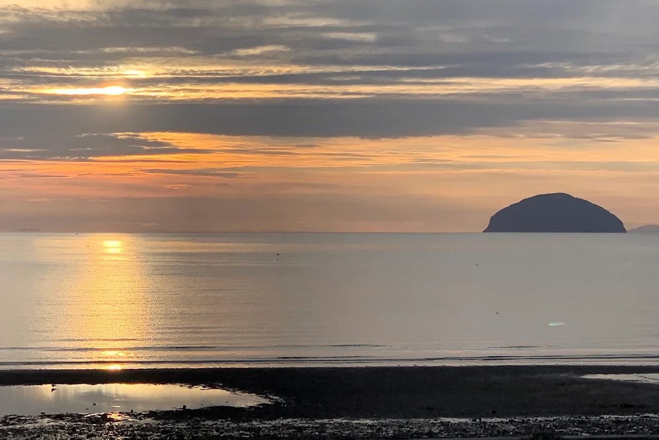
Sunset over Ailsa Craig

Scenic drive · 19 miles

The Queen's Way: Wild Goat Park, Red Deer Range and Murray's Monument

Goats on the crags, deer in the enclosure, a waterfall and a monument to a shepherd's son who became a professor.

FreeScenic driveWildlifeFamily

Pictured: Sunset over Ailsa Craig — a general view of the area, not of this place.

Named for the Queen's Silver Jubilee in 1977, the Queen's Way runs nineteen miles from Newton Stewart to New Galloway across the middle of Galloway Forest Park. It is the best wildlife drive in southern Scotland, and almost all of it can be seen from lay-bys — which makes it unusually good with small children, or with anyone who cannot walk far.

The stops, driving from the Girvan side

  • Kirroughtree (3 miles) — visitor centre, café, waymarked walks, mountain-bike trails and a red squirrel hide.
  • The Wild Goat Park (8 miles) — a fenced hillside where a herd of shaggy, long-horned British Primitive goats lives semi-wild. You can usually see them from the lay-by, and they are most children's favourite thing on the road.
  • Murray's Monument and the Grey Mare's Tail (9 miles) — a granite obelisk on a knoll to Alexander Murray, a shepherd's son from this glen who taught himself languages and became Professor of Oriental Languages at Edinburgh. A short steep path leads up to it, and the Grey Mare's Tail waterfall is a ten-minute walk on a boardwalk from the same car park.
  • The Red Deer Range (10 miles) — a large enclosure with a hide and viewing platform where the park's red deer can be watched year round. Closest in the autumn rut, and rangers run guided feeding walks in summer.
  • Clatteringshaws (13 miles) — the loch, Bruce's Stone and the Raiders' Road forest drive. No facilities now, as the visitor centre has closed.
  • New Galloway (19 miles) — a pretty small town on Loch Ken with cafés, and the end of the road.

Practical notes

Allow half a day with stops. Return the same way, or make a longer loop south by the A713 and A75.

There is very little in the way of facilities along the route once past Kirroughtree — take food and drink, and use the toilets at Kirroughtree before setting off. Mobile signal is poor to non-existent.

The whole road lies inside the Gold Tier Dark Sky Park, so if you can time the return for after dusk on a clear moonless night, do — see stargazing. It forms the eastern half of our Galloway forest loop from Girvan.
Questions visitors ask

Frequently asked

What is the Queen's Way?

The A712, a 19-mile scenic road from Newton Stewart to New Galloway through the middle of Galloway Forest Park, named for the Queen's Silver Jubilee in 1977.

What can you see on the Queen's Way?

The Wild Goat Park, the Red Deer Range with its hide, Murray's Monument, the Grey Mare's Tail waterfall, Clatteringshaws Loch and Bruce's Stone — nearly all of it from roadside lay-bys.

Is the Queen's Way good with children?

Very. The goats and the deer range are both visible without much walking, the waterfall is ten minutes on a boardwalk, and the whole route is free.

Are there facilities on the route?

Very few once past Kirroughtree, which has the café and toilets. Take food and drink, and expect poor or no mobile signal.

When are the red deer best seen?

Year round from the hide, but closest during the autumn rut. Rangers run guided feeding walks in summer.

How long does the Queen's Way take?

Half a day with stops for the 19 miles each way, or longer if you loop back south on the A713 and A75.

Can you stargaze on the Queen's Way?

Yes — the whole road is inside the Gold Tier Dark Sky Park, and timing the return for after dusk on a clear moonless night is well worth it.

Keep exploring

Related pages

Girvan beach looking south

Kirroughtree

Kirroughtree, three miles from Newton Stewart, is Galloway Forest Park's best-equipped visitor centre — a wildlife hide famous for red squirrels, four waymarked walks, world-class 7stanes mountain biking, bike hire and a café.

34 miles · 55 minFree (parking charge)Family
Girvan harbour

Clatteringshaws

A hydro reservoir in the quiet heart of Galloway Forest Park, with a second Bruce's Stone, the Raiders' Road forest drive and — since the visitor centre closed — no facilities at all. The darkest sky in Britain.

48 miles · 1 hr 15 minFreeStargazing
Girvan from the seafront

Wildlife

A UNESCO biosphere with a gannet island in it — where and when to see gannets, puffins, seals, porpoises and basking sharks on the coast, and red deer, wild goats, black grouse and red squirrels inland.

FreeBinoculars
Girvan beach at dusk

The Galloway forest loop

A circular forest-and-hills day from Girvan — Barr, the single-track Nick of the Balloch pass, Bruce's Stone above Loch Trool, Glentrool, Newton Stewart or Wigtown, and home down the Stinchar valley. About 90 miles, with dark skies if you stay late.

CarWalking
Girvan harbour

Galloway Forest Park

Britain's largest forest park — 300 square miles, 250 lochs, the Merrick and the UK's first Dark Sky Park. How to reach it from Girvan by the two quiet back roads, what is at each visitor centre, and what is open in 2026.

17 miles · 35 minFree (parking charges)Outdoor
Girvan harbour

Stargazing

Galloway Forest Park is a Gold Tier International Dark Sky Park where over 7,000 stars are visible to the naked eye. The nearest viewpoints from Girvan, when to go, what to take, and why the observatory is not an option.

17 miles · 35 minFreeWinter best