Visit GirvanGirvan holiday home
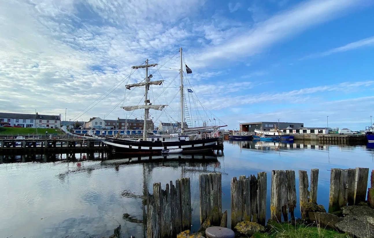
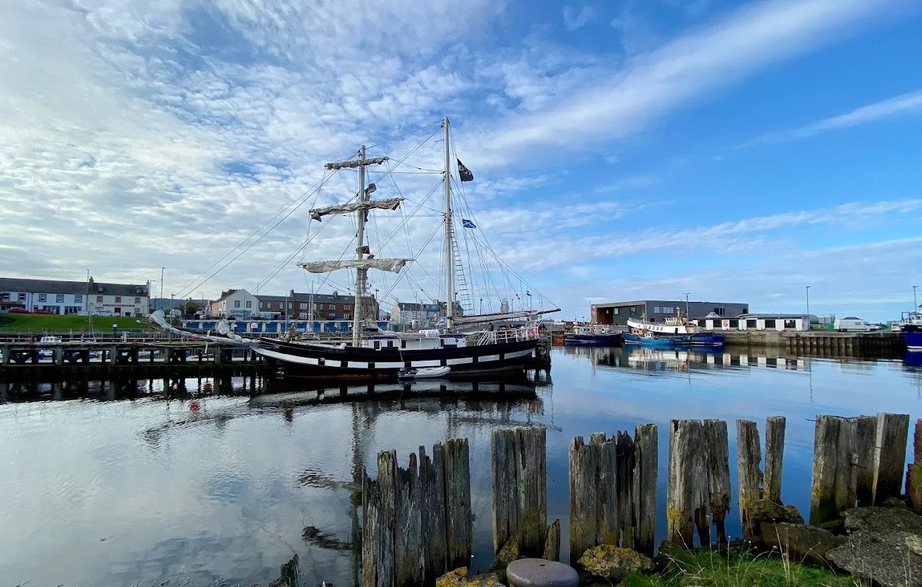
A tall ship berthed in Girvan harbour

Hill walk · Strenuous

The Merrick from Glen Trool

The roof of the south — a clear path, a big day, and on a good day the whole Firth, Ireland and the Lakes.

Free8 milesStrenuousNavigation needed

Pictured: A tall ship berthed in Girvan harbour — a general view of the area, not of this place.

The Merrick is the culmination of the Range of the Awful Hand — the five-fingered ridge that gives the Galloway hills their shape — and at 843 metres it is the highest ground between the Highlands and the Lake District. It is the big day out from Girvan, and on the right day it is a very good one.

The route

The usual way starts at the Bruce's Stone car park in Glen Trool. The path climbs beside the Buchan Burn, past the ruined Culsharg bothy, through forest and out onto the open hill, then up the long shoulder of Benyellary — the 'hill of the eagle' — before the connecting ridge known as the Neive of the Spit leads to the summit.

About eight miles return, five to six hours, and 700 metres of ascent. The path is good by Scottish hill standards and clear for most of the way, but this is a mountain and it should be treated as one.

The view

On a clear day the summit gives you the whole of the Firth of Clyde with Ailsa Craig and Arran, the coast of Northern Ireland, the Isle of Man and — to the south-east — the Lake District fells. Below, the Galloway lochs and the great empty middle of the forest park.

It is a genuinely remarkable panorama, and the reason people come a long way for a hill of this modest height.

Taking it seriously

The summit is exposed and featureless, and in cloud it is easy to walk off in the wrong direction. Carry OS Explorer 318, a compass and the ability to use them — a phone is not a substitute, particularly given there is no signal for much of the route.

Take full hill kit: waterproofs, warm layers, food, water and a head torch. Galloway weather comes in off the Atlantic and changes fast. Check the mountain forecast rather than the town one, and be prepared to turn back.

Boots, not trainers — there is bog, rock and steep ground.

Practical notes

About 45 minutes from Girvan via the A714 and Glen Trool. Pay-and-display at Bruce's Stone, reached by a narrow single-track road. Facilities and a café are at the Glentrool visitor centre lower down the glen, not at the start of the walk.

For a shorter day in the same hills from the Girvan side, see Shalloch on Minnoch and Cornish Hill. For the loch-level alternative, the Loch Trool circuit is about three hours.
Questions visitors ask

Frequently asked

How long does the Merrick take?

Five to six hours for about eight miles return and 700 metres of ascent, from the Bruce's Stone car park in Glen Trool.

How high is the Merrick?

843 metres, or 2,766 feet — the highest hill in southern Scotland and the highest ground between the Highlands and the Lake District.

Is the Merrick difficult?

The path is good by Scottish hill standards and clear for most of the way, but it is a mountain with an exposed, featureless summit. It needs full hill kit, a map and compass, and the ability to navigate in cloud.

What can you see from the top?

On a clear day, the Firth of Clyde with Ailsa Craig and Arran, the coast of Northern Ireland, the Isle of Man and the Lake District fells.

Where do you start?

The Bruce's Stone car park in Glen Trool, pay-and-display, reached by a narrow single-track road. The café and facilities are at the Glentrool visitor centre lower down.

Do you need a map?

Yes — OS Explorer 318, a compass and the ability to use them. There is no mobile signal for much of the route and the summit is easy to walk off in the wrong direction in cloud.

How far is it from Girvan?

About 45 minutes via the A714 through the Stinchar valley and into Glen Trool.

Keep exploring

Related pages

Girvan beach at dusk

Bruce's Stone, Loch Trool

A granite boulder above Loch Trool marking Robert the Bruce's first victory in 1307, in the heart of Galloway Forest Park — with the 5.5-mile loch circuit, the path to the Merrick and some of the darkest skies in Europe. 45 minutes from Girvan.

26 miles · 45 minFreeOutdoor
Girvan harbour

Galloway Forest Park

Britain's largest forest park — 300 square miles, 250 lochs, the Merrick and the UK's first Dark Sky Park. How to reach it from Girvan by the two quiet back roads, what is at each visitor centre, and what is open in 2026.

17 miles · 35 minFree (parking charges)Outdoor
Girvan harbour

Shalloch on Minnoch & Cornish Hill

The northern end of the Range of the Awful Hand, reached from Straiton and the Carrick Forest Drive rather than Glen Trool — a 775-metre Corbett and a shorter 467-metre summit, both half-days from Girvan.

17 miles · 35 minFreeHill walking
Girvan beach looking south

Walking

The best walks within an hour of Girvan, graded honestly — the Ayrshire Coastal Path stages, the short steep climb up Byne Hill, the Grey Hill ridge, Culzean's woodland trails and the Galloway hills.

CoastHills
The North Parish spire from Girvan harbour

Newton Stewart

Newton Stewart on the River Cree is the front door to Galloway Forest Park, 50 minutes over the moors from Girvan — the practical base for Glen Trool, Kirroughtree's mountain biking and red squirrels, with shops, supermarkets and places to eat.

31 miles · 50 minOutdoorsCycling
Girvan beach at dusk

The Galloway forest loop

A circular forest-and-hills day from Girvan — Barr, the single-track Nick of the Balloch pass, Bruce's Stone above Loch Trool, Glentrool, Newton Stewart or Wigtown, and home down the Stinchar valley. About 90 miles, with dark skies if you stay late.

CarWalking