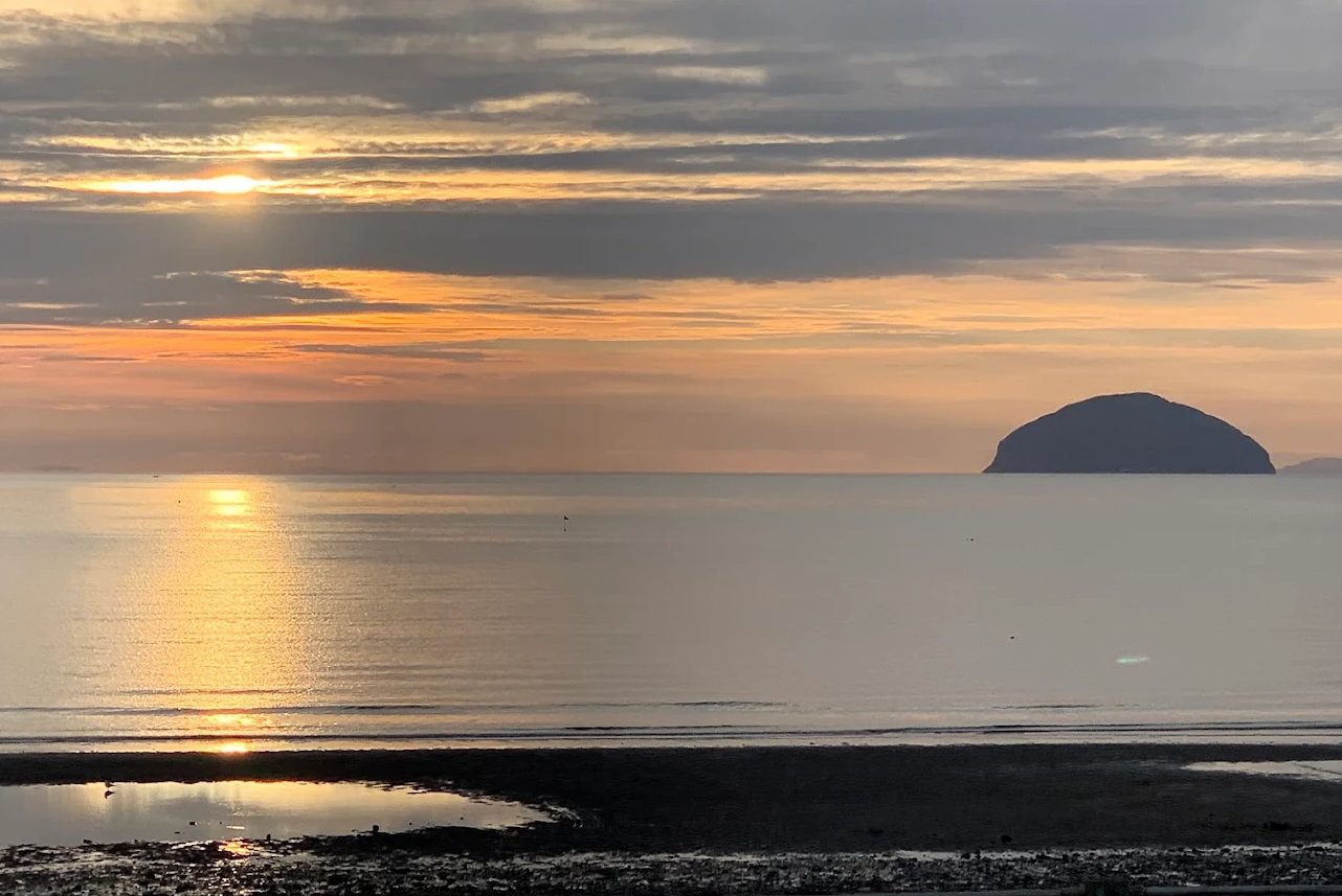
Ailsa Craig sits ten miles off Girvan and dominates every view from this coast. It is the plug of a volcano that erupted around sixty million years ago, left standing when the softer rock around it wore away: a granite dome 338 metres — 1,110 feet — high and about 99 hectares in extent, ringed by cliffs and sloping to a single landing place on the east.
Sailors between Glasgow and Belfast have used it as a waypoint for centuries, which is why it is universally known as Paddy's Milestone — it sits roughly halfway between the two. Its proper name is the Gaelic Creag Ealasaid.
It is uninhabited, leased to the RSPB, and the single most interesting thing you can do from Girvan harbour.
Getting there
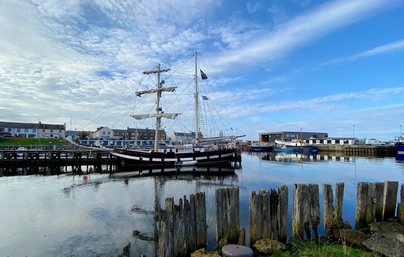
Charter boats run from Girvan harbour through spring, summer and early autumn — see our boat operators page for who sails and how to book. The crossing takes about an hour each way, and a typical trip lasts three to five hours with time ashore or a circuit of the island.
Two honest warnings. Trips are weather-dependent and cancellations are common — the Firth can be flat at Girvan and unworkable at the island. And landing is never guaranteed: it needs calm seas at the jetty, and if the swell is wrong you will circle the island instead, which is still a fine trip. Book ahead, build in a spare day, and take more layers than you think you need.
If you land, note that there is no shelter, no water and no facilities of any kind. The path from the jetty to the lighthouse is straightforward; the climb to the summit is steep, pathless in places and takes most people two hours return.
The birds
The island holds one of the great gannet colonies of the North Atlantic — in the region of 36,000 to 40,000 breeding pairs, which means something over a hundred thousand birds at the height of the season. Since avian flu devastated the colonies at Bass Rock and St Kilda, Ailsa Craig is thought to have become the largest gannet colony in the British Isles.
Gannets are the spectacle, but the island also holds guillemots, black guillemots, razorbills, kittiwakes, shags, fulmars, three species of gull and peregrines, with seals on the rocks below and slow-worms basking on the upper slopes. For seabirds the season is roughly May to July.
The puffins, the rats and the recovery
This is the best story on the island, and it is worth knowing before you go.
Ailsa Craig was once one of the great puffin strongholds of western Scotland. An ornithologist put the colony at a quarter of a million pairs in the 1860s — so many that when disturbed they darkened the sky, described at the time as 'a bewildering darkness'.
Then the rats arrived, probably from a shipwreck; the first was recorded in 1889. Puffins nest in burrows, and eggs and chicks on the ground were easy prey. By 1936 puffins were described as practically extinct on the island, and the other burrow-nesting birds had gone the same way.
In 1991 a team led by Dr Bernard Zonfrillo of the University of Glasgow, working with the Marquess of Ailsa and Scottish Natural Heritage, began a rat eradication that was pioneering at the time: several tons of rodenticide airlifted in by Navy helicopter and distributed across the island, with follow-up baiting the next year. No rat has been recorded since 1992.
The birds took a decade to trust it. Puffins bred successfully again in 2002, for the first time in around fifty years — two pairs, carrying fish to a chick. Ten pairs by 2004, and well over a hundred pairs since. Black guillemot, shelduck and wheatear have colonised the island too.
It is a long way back from a quarter of a million. But it is one of the clearest conservation successes on this coast, and you are looking at it.
The curling stones
Almost every curling stone thrown at the Winter Olympics since 2006 has come from this island, and curling stones are still nicknamed 'Ailsas' because of it.
The rock is a rare riebeckite microgranite known as Ailsite. Two varieties are taken: Blue Hone, so dense it barely absorbs water — which matters, because trapped moisture freezing and thawing is what shatters an ordinary stone — and Ailsa Craig Common Green, which copes better with condensation and impact. A finished stone weighs around 20 kg and usually combines both: a Blue Hone running band on a Common Green body.
Kays of Scotland, founded in 1851 and based at Mauchline, holds the exclusive right to harvest the granite by permission of the Marquess of Ailsa, and exports stones to some seventy countries. Blasting is no longer permitted on the island; granite is now gathered as loose surface rock in occasional harvests, with enough stockpiled to last many years.
The industrial island
It is easy to think of the Craig as untouched. It was, for about seventy years, a small industrial site with a resident population of quarrymen, lighthouse keepers and their families.
The Ailsa Craig Granite Company quarried roadstone at Kennedy's Nags and built a mineral railway in 1909 — horse-drawn wagons of granite blocks running down to a stone crusher and out to the Quarry Pier. The company effectively closed in 1928.
A second, entirely separate railway dating from 1886 served the lighthouse, hauling coal, oil and provisions up from the North Port. Part of it was a cable-worked tramway feeding the gasworks, whose two gasholders made coal gas to run the lighthouse light and the compressed-air fog signal. The gasworks became redundant in 1911 when the light was converted.
The remains of all of it are still there — rusting rails, the crusher, the gasholders, the quarrymen's cottages, an old anchor embedded in the beach by the jetty. It is one of the more atmospheric industrial ruins in Scotland, and almost nobody sees it.
The lighthouse
The lighthouse on the east shore was built between 1883 and 1886 by Thomas and David A. Stevenson, engineers to the Northern Lighthouse Board — Thomas being Robert Louis Stevenson's father. It followed petitions from Lloyd's and the Scottish Shipmasters Association for a light and two fog signals on the rock.
The oil-burning light was first exhibited on the night of 15 June 1886, through a lens made by Barbier and Fenestre of Paris. Two foghorns were built, one at each end of the island, driven by compressed air; they were decommissioned in 1966, and the Tyfon signal that replaced them fell out of use in 1987 as ship navigation improved.
The light was automated in 1990, which is when the last residents left. It is a category B listed building, runs on solar power, and its light is visible for about 17 nautical miles.
The castle, and the plot of 1597
Above the lighthouse stands a ruined 16th-century tower house, three storeys with vaulted rooms, reached by a steep scramble.
The island's early recorded owner was Crossraguel Abbey: Duncan, Earl of Carrick — who founded the abbey — endowed the monks with Ailsa Craig, in the phrase of the time, to provide for their table. Gannets, fish and eggs from the rock fed the monastery. It is a direct link between the island and the abbey ruins eleven miles up the A77.
The castle was substantially repaired in 1580, work recorded by an armorial panel bearing the arms of Thomas Hamilton, and by then the island had passed to the Kennedys.
Then comes the strange chapter. During the Reformation the Craig became a haven for Catholics: Lord Maxwell landed here around 1587 while fleeing his pursuers. In 1597 Hugh Barclay of Ladyland seized the island and held it for Philip II of Spain — intending it as a refuge for Catholics, a provisioning point for a Spanish invasion to restore the faith in Scotland, and a supply base for the Earl of Tyrone in Ireland.
The plot was discovered by Andrew Knox, a Protestant minister. Barclay drowned off the island in the struggle that followed — whether by accident or his own hand is disputed to this day. The invasion never came.
The tower was later used as a prison in the 18th and 19th centuries, and a cave on the island is named for a supposed smuggler called MacNall; stone coffins containing human bones were found in it, and four more were uncovered when the lighthouse was built.
Ownership and the name
In 1831 the 12th Earl of Cassillis was created Marquess of Ailsa — taking his title from the rock itself, which was his property. It remains with the Kennedy family, and it is leased to the RSPB until 2050, with the island protected as a Site of Special Scientific Interest and a Special Protection Area.
The Marquess offered the island for sale in 2001 at £2.5 million, later reduced to £1.5 million, and it has been quietly on and off the market since without changing hands. The current position is worth checking rather than assuming.
Odds and ends
- There is a loch on it. The Garry Loch sits in a glen at around 247 metres, over five metres deep — fresh water, most of the way up a sea stack.
- Keats wrote a sonnet about it, To Ailsa Rock, after seeing it on his walking tour in 1818.
- Gannets were food. An annual harvest of young gannets — 'solan geese' — was taken from the cliffs and considered a delicacy in Burns' day. Burns' own maternal uncle was involved in the trade.
- The tomato is named after it. 'Ailsa Craig' is a long-established variety of both tomato and onion, bred in Scotland in the 19th century.
- A hotel was once proposed for the island. Planning saw it off.
If you cannot get out there
Boat trips cancel often, and in winter they do not run at all. The best alternatives:
- The McKechnie Institute in Girvan has an exhibition on the island — the quarrying, the curling stones, the lighthouse and the life of the place. Free, and the best introduction short of a boat.
- Byne Hill gives the finest elevated view of it, about ninety minutes return from Ainslie Park.
- Lendalfoot and the Varyag memorial car park are where the island comes closest to the mainland.
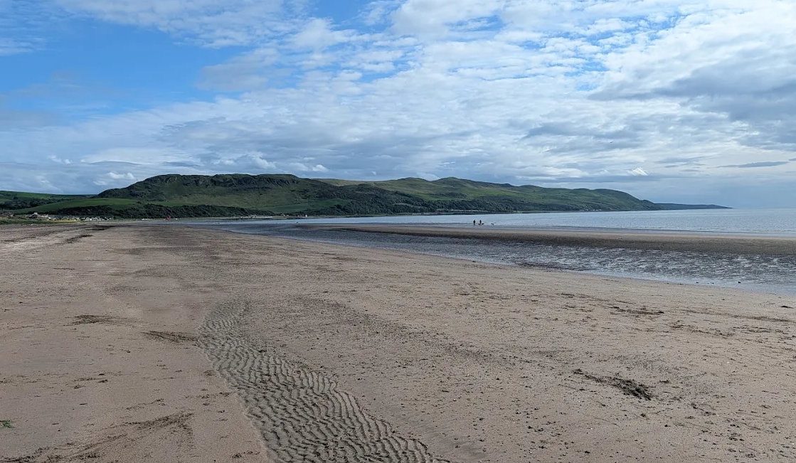
- Girvan beach at sunset, from roughly May to August, when the sun goes down behind it.