Visit GirvanGirvan holiday home
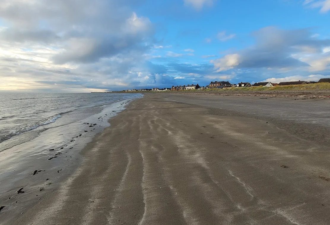
Girvan beach at dusk

Hamlet · Crossroads

Pinwherry

Blink and you miss it, but it is the junction for everything inland.

QuietScenic driveCycling

Pictured: Girvan beach at dusk — a general view of the area, not of this place.

Pinwherry is a scatter of houses, a former station and a bridge, nine miles south of Girvan where the A714 to Newton Stewart crosses the Stinchar and the Duisk Water comes in to join it. Nobody makes a special journey here, and that is fine — Pinwherry's value is as a junction, and once you understand the roads that meet here, the whole of inland Carrick opens up.

Pinwherry Castle

A ruined Kennedy tower house of the late 1500s stands in a field beside the river, an L-plan tower now roofless and gaunt. It is on private land, so view it from the road rather than crossing the fields — it photographs well from the bridge in low light.

The roads that meet here

  • West down the Stinchar to Colmonell and Ballantrae — the quiet valley road.
  • North-east to Barr, and from there the single-track climb over the Nick of the Balloch at around 1,280 feet, through the edge of Galloway Forest Park to Glentrool. This is the great one: the finest drive or ride in south Carrick, and not for the nervous or the wide.
  • South to Barrhill and on over the moor to Newton Stewart.
  • North back down the A714 to Girvan in fifteen minutes.

The railway

The Glasgow–Stranraer line runs just east of the village. Pinwherry had its own station until 1965; it closed, but Barrhill three miles on still has one, which matters if you are walking or cycling and want a train home.

Practical notes

There are no facilities at Pinwherry — no shop, no pub, no fuel. Barrhill has a shop and an inn; Girvan has everything. The roads inland are single track with passing places and used by farm and timber traffic, so drive accordingly, and be aware that mobile coverage through the valley is unreliable.
Questions visitors ask

Frequently asked

How far is Pinwherry from Girvan?

About 9 miles south on the A714, roughly 15 minutes by car.

Can you visit Pinwherry Castle?

The ruin stands on private land in a field by the river. View it from the roadside rather than crossing the fields — it is clearly visible from the bridge.

What is the Nick of the Balloch?

A single-track road that climbs to around 1,280 feet from Barr over the shoulder of the Galloway hills to Glentrool, through the edge of Galloway Forest Park. It is one of the best drives and cycle climbs in southern Scotland, and it is narrow.

Is there a station at Pinwherry?

Not since 1965. The Glasgow to Stranraer line passes just east of the village, and the nearest open station is Barrhill, three miles south.

Are there shops or pubs in Pinwherry?

No. The nearest are at Barrhill three miles south, and Girvan nine miles north.

Why does Pinwherry matter to visitors?

It is the junction where the roads to Colmonell and Ballantrae, Barr and the Nick of the Balloch, and Barrhill and Newton Stewart all meet — the gateway to inland Carrick.

Keep exploring

Related pages

Girvan beach looking south

Colmonell

Colmonell is a conservation village in the Stinchar valley 11 miles south of Girvan — Kirkhill and Craigneil castle ruins, Knockdolian the 'false Craig', a church with Burne-Jones glass, salmon fishing and the scenic valley road from Ballantrae to Barr.

11 miles · 20 minHeritageFishing
Winter dusk on Girvan beach

Barr

Barr is a conservation village 8 miles from Girvan in the Stinchar valley — whitewashed cottages in a bowl of hills, Changue forest trails, the walk over Auchensoul Hill to Girvan and the single-track road over the Nick of the Balloch to Glentrool.

8 miles · 18 minWalksQuiet
Sunset behind Ailsa Craig

Barrhill

Barrhill, 12 miles south of Girvan on the A714, is a moorland village with a station on the Stranraer line, an inn, a Covenanters' memorial and the point where the Southern Upland Way crosses the road — the walkers' gateway into Galloway.

12 miles · 20 minWalksTrain
Girvan harbour

Galloway Forest Park

Britain's largest forest park — 300 square miles, 250 lochs, the Merrick and the UK's first Dark Sky Park. How to reach it from Girvan by the two quiet back roads, what is at each visitor centre, and what is open in 2026.

17 miles · 35 minFree (parking charges)Outdoor
A tall ship berthed in Girvan harbour

Cycling

Turn inland from the A77 and the lanes around Girvan are among the quietest in Scotland — the Girvan valley loop, the Stinchar valley, the Nick of the Balloch, National Cycle Route 7, and two 7stanes trail centres within an hour.

RoadGravel
Girvan beach at dusk

The Galloway forest loop

A circular forest-and-hills day from Girvan — Barr, the single-track Nick of the Balloch pass, Bruce's Stone above Loch Trool, Glentrool, Newton Stewart or Wigtown, and home down the Stinchar valley. About 90 miles, with dark skies if you stay late.

CarWalking