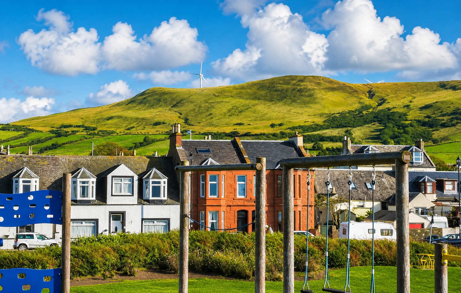
Barrhill stands on the Duisk Water at the foot of the moors, the last village in Ayrshire on the A714 before the road climbs over into Galloway. It is a working moorland place rather than a pretty one, and its significance to visitors is almost entirely about walking — because this is where Scotland's coast-to-coast path meets a railway line.
The Southern Upland Way
The Southern Upland Way runs 212 miles from Portpatrick on the Irish Sea to Cockburnspath on the North Sea, and it crosses the A714 just south of Barrhill on its way from Glen Trool to New Luce. This is a standard overnight and resupply point for through-walkers, and one of very few places on the western half of the route where you can reach the path by public transport.
For a day walk the arithmetic is unusually kind: take the train from Girvan to Barrhill, walk a section of the Way, and take the train back from Barrhill or on to Stranraer. Very few long-distance paths in Scotland let you do that. Carry a map and take the weather seriously — this is exposed moorland and the route demands real navigation.
In the village
There is a shop, an inn with rooms and food, and a station about a mile from the houses on the Glasgow–Stranraer line. In a field near the village stands a memorial to two Covenanters shot here in 1685 during the Killing Times, one of many such stones scattered across this part of Scotland. South of Barrhill the Kildonan estate has woodland, and the road runs on over the moor towards Newton Stewart.
Opening hours in a village this size are not guaranteed, so ring ahead rather than arriving hungry.
Getting there and onward
Twelve miles from Girvan on the A714, about 20 minutes, or a short hop on the train. Barrhill is the nearest station to Glentrool and the western end of Galloway Forest Park, though it is a long walk or a pre-booked taxi from the platform — worth knowing if you are travelling without a car. See our car-free day out.